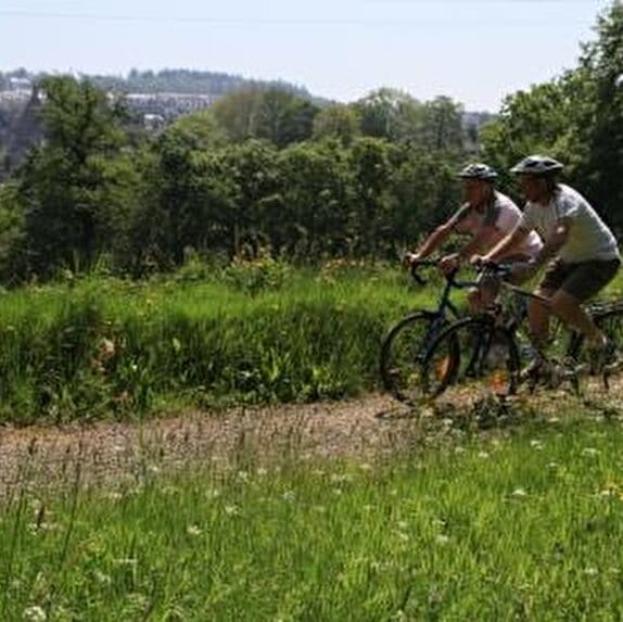
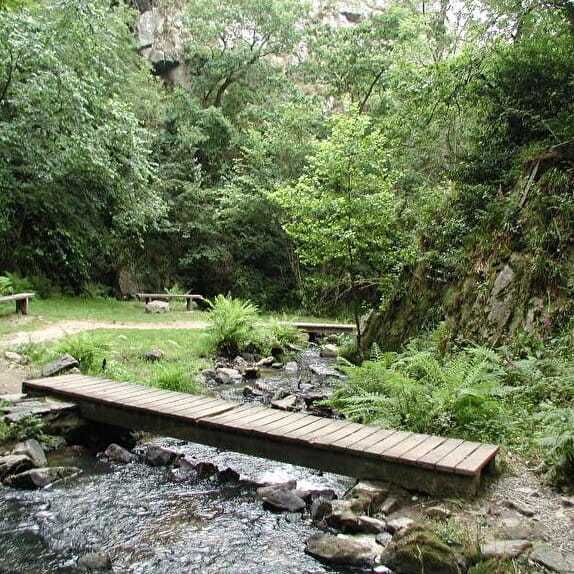
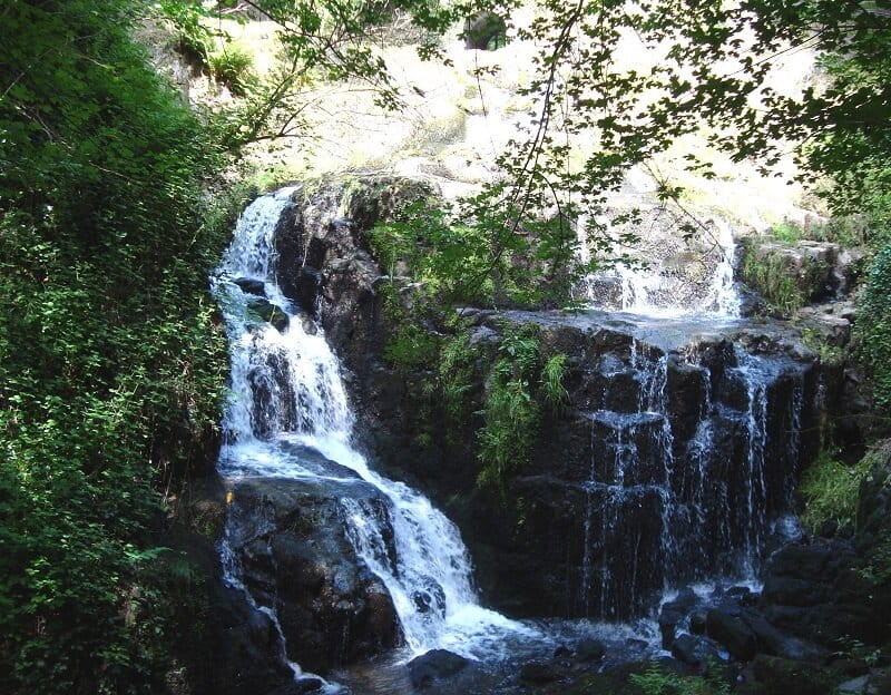
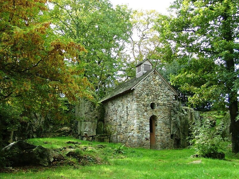
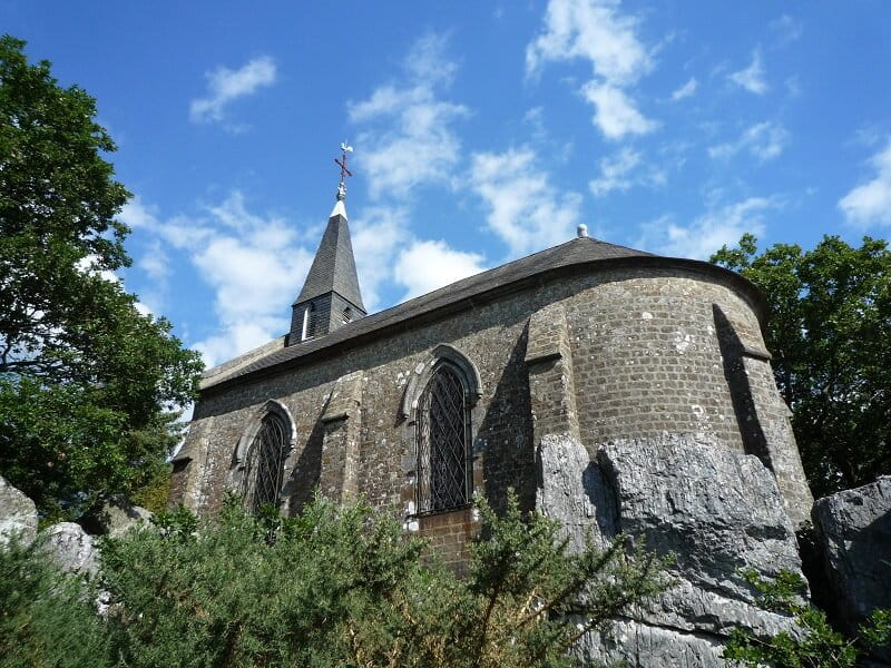
Two waterfalls roar through the valley, between a narrow, white-water canyon and a remarkable rocky setting. The panoramas reveal typical reliefs and the Mont-Saint-Michel on a clear day.
Les cascades de Mortain
Lieu MORTAIN-BOCAGE
Walking
Practical information
Type of trail
Loop
Markup
Yellow
Starting point
MORTAIN-BOCAGE
Bureau d'Informations Touristiques de Mortain-Bocage, 1 Place Frank Towers
Ending point
MORTAIN
Office de Tourisme du Mortainais rue du Bourglopin
| Elevation (m) | 218 | 202 | 193 | 175 | 185 | 192 | 204 | 199 | 224 | 223 | 228 | 221 | 204 | 203 | 204 | 206 | 216 | 206 | 201 | 217 | 225 | 220 | 226 | 221 | 244 | 247 | 265 | 284 | 301 | 305 | 314 | 307 | 296 | 275 | 268 | 260 | 233 | 227 | 228 | 228 | 222 | 217 |
|---|---|---|---|---|---|---|---|---|---|---|---|---|---|---|---|---|---|---|---|---|---|---|---|---|---|---|---|---|---|---|---|---|---|---|---|---|---|---|---|---|---|---|
| Distance | 0 km | 0.2 km | 0.3 km | 0.5 km | 0.6 km | 0.6 km | 0.8 km | 0.9 km | 1.2 km | 1.3 km | 1.5 km | 1.7 km | 1.9 km | 2 km | 2.1 km | 2.2 km | 2.3 km | 2.5 km | 2.6 km | 2.8 km | 3 km | 3.3 km | 3.5 km | 3.8 km | 4 km | 4.2 km | 4.4 km | 4.6 km | 4.7 km | 4.9 km | 5.1 km | 5.3 km | 5.5 km | 5.7 km | 5.8 km | 5.9 km | 6.2 km | 6.3 km | 6.4 km | 6.6 km | 6.7 km | 6.9 km |
Hiker's tips
- Wear appropriate clothing for the route and the weather
- Make sure you take enough water
- Tell family or friends where you’re planning to go and make sure you take a fully charged mobile
- Protect nature: take your rubbish home with you, keep your dog on a lead and stay on the marked paths.