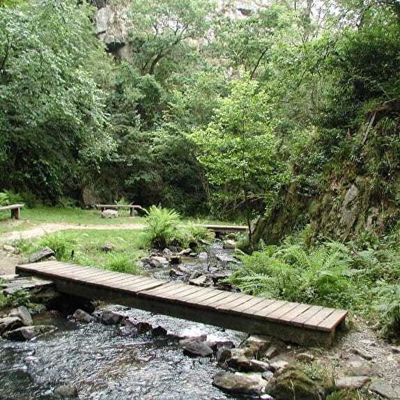
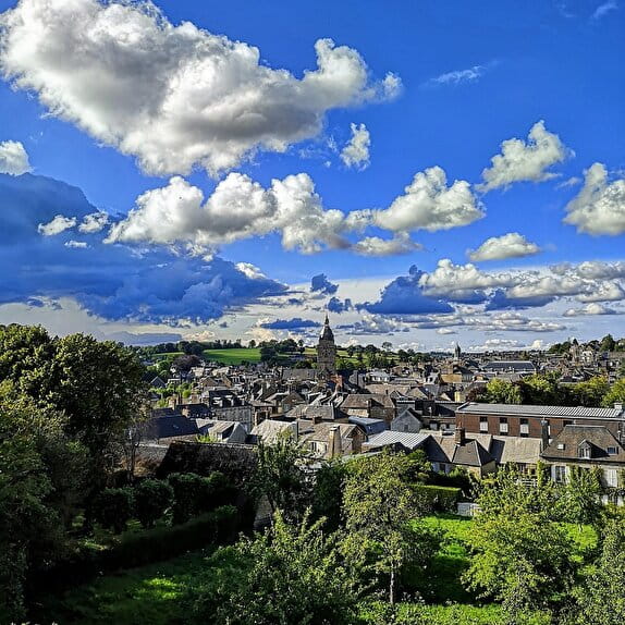
During this easy walk, despite its steep slope, you will discover the Mortainais region and its many legends. The legend of the Devil's Bridge tells how the people of Mortain cunningly refused to give in to the orders of Belzebuth who had built the bridge. The devil in anger, pushed the rocks against the bridge what you can still see today
Remarkable points on the circuit :
0 - Departure from the castle square with a commemorative stele recalling the conquest of England by Robert de Mortain in the XIth century with his half-brother William the Conqueror "I Robert by the grace of God Count of Mortain went to war carrying the standard of St Michael - 1066"
1 - The collegiate church of Saint-Evroult is made of red stones, dated from the 13th century. It is the oldest monument in Mortain. There are still some vestiges of the Romanesque period, in particular a superb door which recalls the memory of Saint Firmat.
2 - Saint-Michel Chapel which offers a panoramic view of Mont-Saint-Michel in good weather and which has been known since the Middle Ages by pilgrims who saw it as the goal of their journey. The monument only dates from the 19th century. See the orientation table.
3 - You cross the old railway line which went to Vire. It was probably linked to the old iron mine, on your left. Mines were exploited in Lower Normandy as early as the Gallo-Roman era..
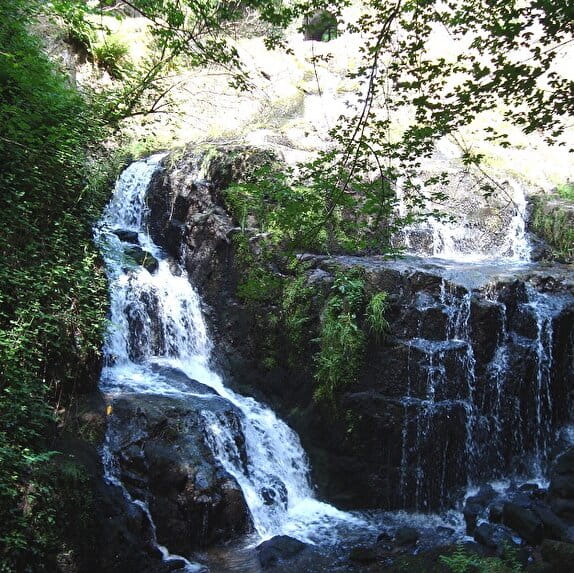
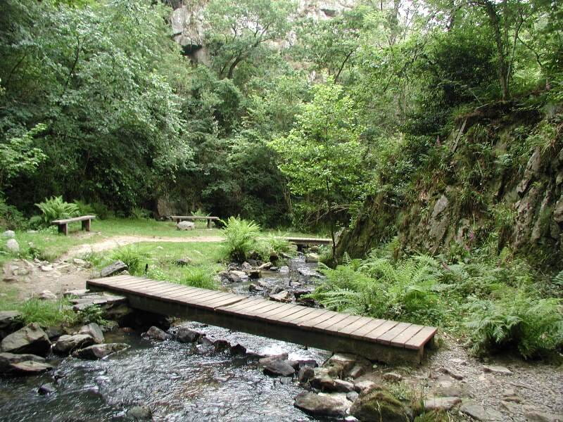
4 - The small waterfall, shaded and green, is perfect for a walk. Carved out by the Cançon river, the deep gorge is easy to walk through thanks to its fitted out stairs. Freshness, rustling water and birdsong inspire tranquility
5 - The big waterfall, make the round trip (100m)
On the Armorican sandstone reliefs, the waters of the Cance fall from about twenty meters. The vegetation is dense. Will you see the rhododendrons in flower?
6- Rocher de l'aiguille : climbing site which offers 80 routes from 5 to 35 m high. There is something for everyone, with difficulty levels ranging from 2 to 7
Remarkable points in the vicinity:
Abbaye Blanche, Mortain, founded in 1120
Mortain is the gateway to the Normandy-Maine Regional Natural Park, which extends from Lower Normandy to the Pays de Loire, on 235 000 hectares. It covers 149 communes and 4 departments.
Fosse Arthour, Saint-Georges-de-Rouelley, a wild and beautiful natural site where the beautiful legend of King Arthour and his wife takes place.
The Enchanted Village, Bellefontaine, on the theme of Fairy Tales and which today also offers accrobranche, automatons, tyroliennes and other attractions.
Crêtes et Monuments de Mortain
Lieu MORTAIN-BOCAGE
Walking
Practical information
Type of trail
Loop
Markup
Yellow
Starting point
MORTAIN-BOCAGE
Place du Château
Ending point
MORTAIN
Place du château
| Elevation (m) | 200 | 184 | 177 | 179 | 192 | 200 | 211 | 210 | 195 | 191 | 203 | 217 | 222 | 233 | 244 | 270 | 275 | 281 | 282 | 284 | 278 | 258 | 243 | 229 | 245 | 279 | 271 | 282 | 285 | 300 | 293 | 305 | 307 | 304 | 292 | 279 | 260 | 242 | 245 | 222 | 213 |
|---|---|---|---|---|---|---|---|---|---|---|---|---|---|---|---|---|---|---|---|---|---|---|---|---|---|---|---|---|---|---|---|---|---|---|---|---|---|---|---|---|---|
| Distance | 0 km | 0.1 km | 0.3 km | 0.4 km | 0.5 km | 0.6 km | 0.8 km | 0.9 km | 1 km | 1.2 km | 1.3 km | 1.4 km | 1.6 km | 1.9 km | 2.2 km | 2.7 km | 3.3 km | 3.8 km | 4.9 km | 5.5 km | 5.9 km | 6.4 km | 6.8 km | 7.2 km | 7.6 km | 8.1 km | 8.5 km | 8.7 km | 8.9 km | 9.2 km | 9.5 km | 9.7 km | 10 km | 10.2 km | 10.2 km | 10.4 km | 10.6 km | 10.8 km | 11 km | 11.2 km | 11.4 km |
Hiker's tips
- Wear appropriate clothing for the route and the weather
- Make sure you take enough water
- Tell family or friends where you’re planning to go and make sure you take a fully charged mobile
- Protect nature: take your rubbish home with you, keep your dog on a lead and stay on the marked paths.