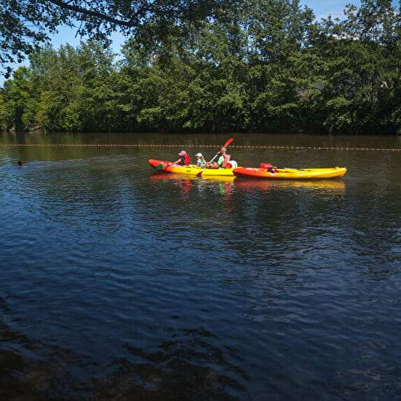
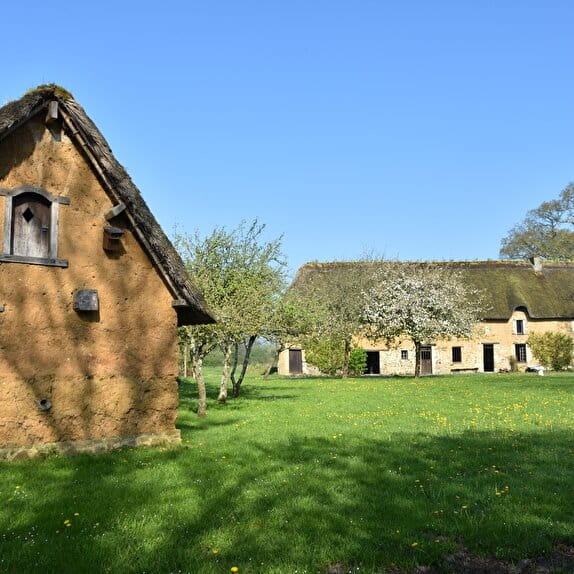
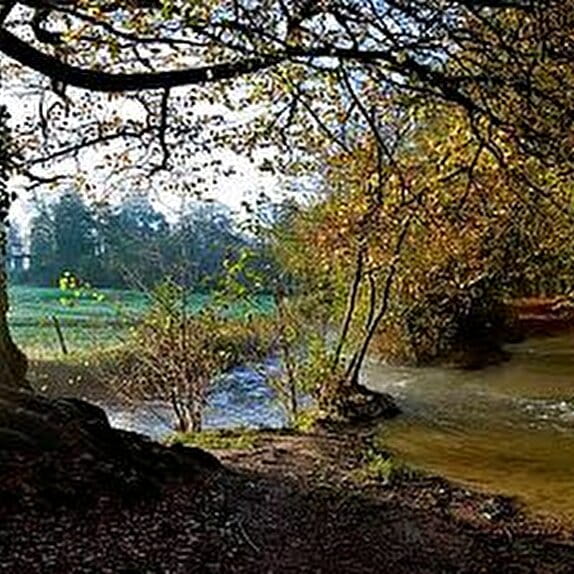
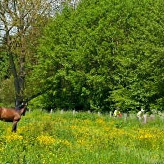
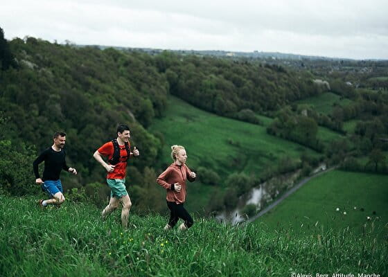
Most of the route follows the Vire river, crossing undulating wooded paths typical of the Normandy bocage, offering total immersion in a soothing natural setting.
You'll pass by the Roches de Ham, a rocky massif dominating the valley and offering an exceptional panorama of the meandering Vire. A slight detour will take you to this unmissable viewpoint.
Another curiosity on the route is the Grotte du Diable, an intriguing site tucked away in the heart of nature, fuelling local legends and inviting you to take a mystical break in the middle of the race.
From rolling sections to gentle climbs, this varied circuit will appeal to runners in search of nature and discovery. A fine balance between effort and contemplation!
Blue signposting
Le défi des Roches
Lieu CONDÉ-SUR-VIRE
Trail
Practical information
Type of trail
Loop
Starting point
CONDÉ-SUR-VIRE
| Elevation (m) | 24 | 25 | 24 | 26 | 32 | 41 | 79 | 94 | 108 | 102 | 116 | 122 | 127 | 114 | 101 | 60 | 46 | 97 | 103 | 95 | 97 | 81 | 82 | 56 | 41 | 45 | 37 | 35 | 44 | 52 | 75 | 74 | 69 | 57 | 100 | 108 | 95 | 80 | 69 | 55 | 30 |
|---|---|---|---|---|---|---|---|---|---|---|---|---|---|---|---|---|---|---|---|---|---|---|---|---|---|---|---|---|---|---|---|---|---|---|---|---|---|---|---|---|---|
| Distance | 0 km | 0.5 km | 0.8 km | 1.2 km | 2 km | 2.6 km | 2.9 km | 3.4 km | 4 km | 4.5 km | 5.1 km | 5.5 km | 6 km | 6.4 km | 6.8 km | 7.2 km | 7.7 km | 8.3 km | 9 km | 9.6 km | 10 km | 10.5 km | 11.2 km | 11.7 km | 12.2 km | 12.5 km | 13.2 km | 13.6 km | 14.1 km | 14.5 km | 14.9 km | 15.5 km | 15.9 km | 16.4 km | 17 km | 17.7 km | 18.1 km | 18.6 km | 19 km | 19.5 km | 20.1 km |
Hiker's tips
- Wear appropriate clothing for the route and the weather
- Make sure you take enough water
- Tell family or friends where you’re planning to go and make sure you take a fully charged mobile
- Protect nature: take your rubbish home with you, keep your dog on a lead and stay on the marked paths.