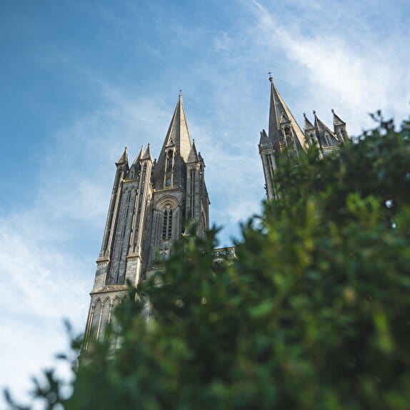
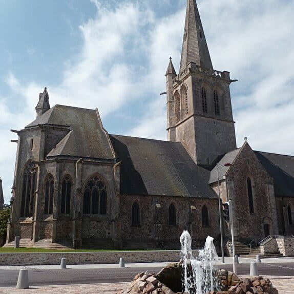
The Route of the Abbeys on Horseback is a 155 km long equestrian hiking route specially designed for riders where the tarred portions have been kept to a minimum
To be discovered on the route: Cerisy-la-Forêt: abbey, jewel of Romanesque art, founded in 1032.
1 - Saint-Fromond: Norman Romanesque abbey founded in the 7th century.
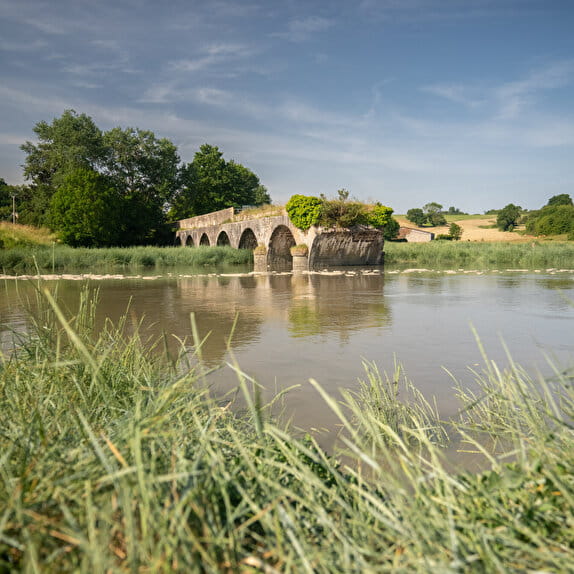
2 - Towpath along the Vire river. Today, this path has been transformed into the Voie Verte (Green Way) on which you can walk in peace and quiet.
3 - Saint-Lô : National Stud
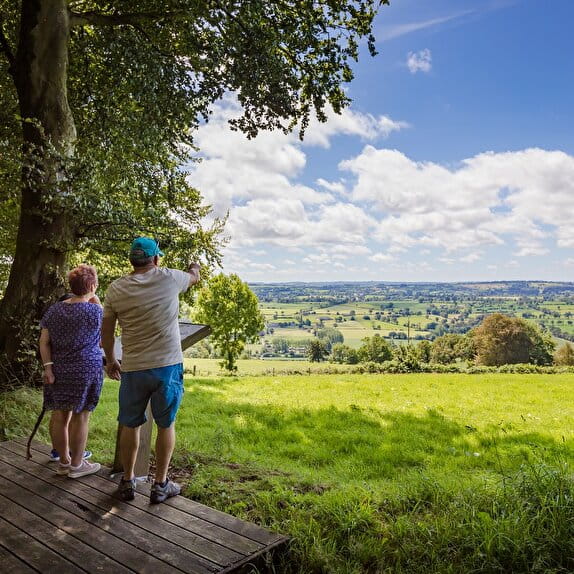
4 - Before leaving the towpath, stop at the Roches de Ham: exceptional panorama on the Vallée de la Vire.
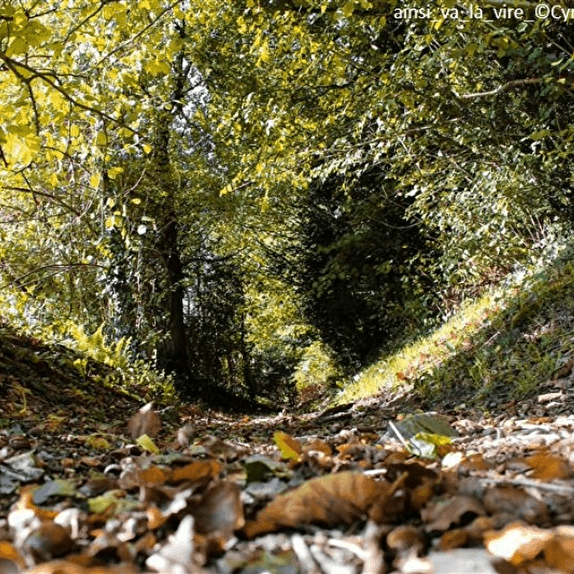
5 - Hambye via the sunken lanes: 12th century Benedictine abbey situated on the banks of the Sienne river
6 - The Lucerne d'Outremer: a Premonstratensian abbey of Cistercian spirit, founded in 1143.
7 - The Haye-Pesnel, Dragey-Ronthon : country of the breeding of gallopers.
Arrival : Bec d'Andaine : possibility from this point to cross the bay of Mont Saint-Michel on horseback, accompanied by a professional, and to finish your trip by visiting the abbey of Mont Saint-Michel.
La Route des Abbayes à cheval - Etape 4/5 : Abbaye d'Hambye - Abbaye de la Lucerne d'Outremer
Lieu HAMBYE
Equestrian
Practical information
Type of trail
Linear
Markup
Orange
Starting point
HAMBYE
Abbaye
Ending point
LA LUCERNE-D'OUTREMER
Abbaye
| Elevation (m) | 63 | 106 | 141 | 117 | 132 | 150 | 123 | 95 | 49 | 48 | 37 | 53 | 58 | 102 | 132 | 111 | 98 | 118 | 124 | 142 | 162 | 163 | 156 | 131 | 115 | 72 | 60 | 88 | 117 | 128 | 110 | 121 | 122 | 121 | 117 | 103 | 91 | 101 | 78 | 100 | 54 |
|---|---|---|---|---|---|---|---|---|---|---|---|---|---|---|---|---|---|---|---|---|---|---|---|---|---|---|---|---|---|---|---|---|---|---|---|---|---|---|---|---|---|
| Distance | 0 km | 0.7 km | 1.5 km | 2.7 km | 3.3 km | 4.3 km | 5 km | 6.2 km | 6.9 km | 7.8 km | 8.3 km | 9 km | 9.8 km | 10.6 km | 13.6 km | 15.1 km | 16.6 km | 17.4 km | 18.4 km | 19.3 km | 19.8 km | 20.5 km | 21.5 km | 22.6 km | 23.8 km | 25.1 km | 25.8 km | 26.4 km | 27.6 km | 28.5 km | 29.2 km | 30.6 km | 31.7 km | 32.4 km | 33.9 km | 34.6 km | 35.7 km | 36.6 km | 37.9 km | 39.2 km | 40.1 km |
Hiker's tips
- Wear appropriate clothing for the route and the weather
- Make sure you take enough water
- Tell family or friends where you’re planning to go and make sure you take a fully charged mobile
- Protect nature: take your rubbish home with you, keep your dog on a lead and stay on the marked paths.