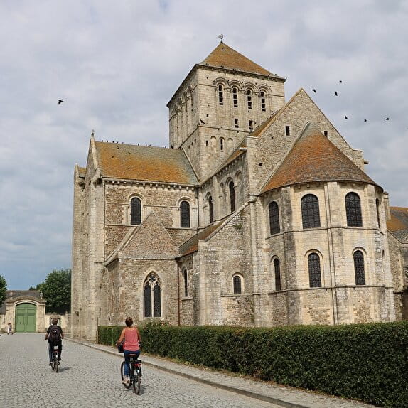
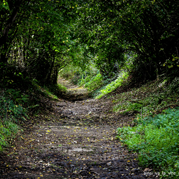
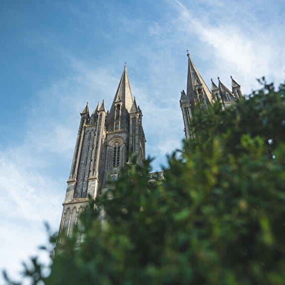
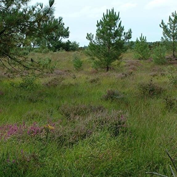
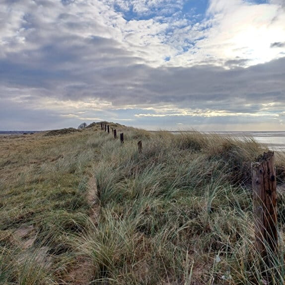
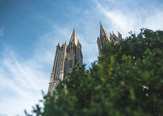
Leaving Périers, where you will have taken the time to visit the church of Notre-Dame, you will follow the old railway line transformed into a greenway and then travel through the bocage to reach the pretty town of Coutances.
Les chemins du Mont-Saint-Michel - Chemin de Barfleur - Périers - Coutances
Lieu PERIERS
Walking
Practical information
Type of trail
Linear
Markup
Other
Starting point
PERIERS
Eglise de Périers
Ending point
COUTANCES
Cathédrale de Coutances
| Elevation (m) | 29 | 29 | 29 | 32 | 26 | 32 | 49 | 54 | 55 | 56 | 68 | 63 | 68 | 70 | 89 | 89 | 113 | 106 | 125 | 127 | 125 | 117 | 102 | 105 | 159 | 165 | 141 | 122 | 123 | 123 | 133 | 132 | 122 | 110 | 105 | 94 | 85 | 83 | 88 | 79 | 93 |
|---|---|---|---|---|---|---|---|---|---|---|---|---|---|---|---|---|---|---|---|---|---|---|---|---|---|---|---|---|---|---|---|---|---|---|---|---|---|---|---|---|---|
| Distance | 0 km | 0.3 km | 0.5 km | 1.8 km | 3.3 km | 4.1 km | 4.9 km | 5.5 km | 6 km | 6.5 km | 7 km | 7.4 km | 7.8 km | 8.1 km | 8.9 km | 9.1 km | 9.7 km | 10 km | 10.7 km | 11.3 km | 11.4 km | 12 km | 12.5 km | 12.7 km | 13.4 km | 13.7 km | 14.4 km | 14.7 km | 15 km | 15.5 km | 15.8 km | 16.2 km | 16.7 km | 17 km | 17.2 km | 17.7 km | 18.1 km | 18.3 km | 18.5 km | 19.1 km | 19.6 km |
Hiker's tips
- Wear appropriate clothing for the route and the weather
- Make sure you take enough water
- Tell family or friends where you’re planning to go and make sure you take a fully charged mobile
- Protect nature: take your rubbish home with you, keep your dog on a lead and stay on the marked paths.