Presentation
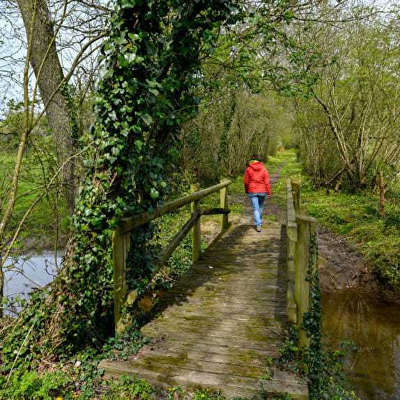
Taste the freedom of roaming on the long-distance hiking trail.
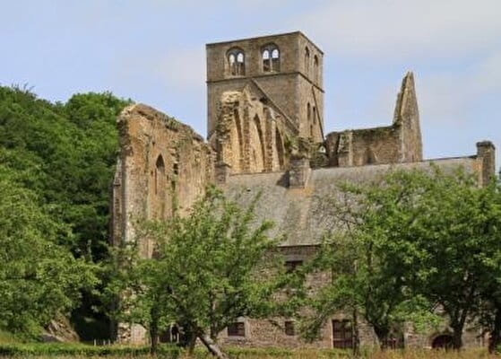
This hike introduces you to the Art Campanaire, the Dinandiers and one of the first commanderies of the Order of the Hospitallers. Monuments and remarkable sites mark out this route.
Remarkable points on the circuit
14- Mount Robin: In the heart of the bocage, from valley to valley, hedges delimit the fields and shape this typical Normandy landscape. These hedges are particularly welcoming biotopes for a very rich fauna and flora.
15- The church of Notre-Dame des Marais in Gouvets: It was built at the bottom of the valley in the XIIth century, a legend says that a mason threw a stone saying "where you fall, we'll build the church". The building was built near the river, at the place where the stone fell.
16- The belvedere of Saint Vigor des Monts : Belvedere with orientation tables offering a view of the Norman Bocage. Communal bakery, can be visited. A bread festival takes place there every year in May.
17- Le château de la Roche Tesson de la commune de La Colombe: Site of the former castle of La Roche Tesson destroyed during the Hundred Years War (1427) by the Duke of Gloucester.
GRP 5 Sur la trace des fondeurs de cloches - De Hambye à Villedieu-les-Poêles
Lieu HAMBYE
Walking
Practical information
Markup
Red and yellow
Starting point
HAMBYE
Place de la mairie
Ending point
VILLEDIEU-LES-POELES
Place des Costils
| Elevation (m) | 90 | 110 | 148 | 166 | 158 | 170 | 182 | 212 | 266 | 241 | 232 | 179 | 100 | 112 | 95 | 91 | 164 | 159 | 181 | 145 | 151 | 163 | 159 | 187 | 242 | 261 | 188 | 199 | 224 | 255 | 226 | 243 | 180 | 166 | 133 | 119 | 114 | 119 | 115 | 113 | 110 | 139 |
|---|---|---|---|---|---|---|---|---|---|---|---|---|---|---|---|---|---|---|---|---|---|---|---|---|---|---|---|---|---|---|---|---|---|---|---|---|---|---|---|---|---|---|
| Distance | 0 km | 1.1 km | 2.1 km | 3.7 km | 4.7 km | 6 km | 7.4 km | 8.6 km | 9.4 km | 11.4 km | 13.3 km | 14.1 km | 15.9 km | 17.4 km | 19.4 km | 21.2 km | 23.3 km | 24 km | 24.8 km | 25.9 km | 26.3 km | 27.1 km | 28.2 km | 29.3 km | 30.1 km | 31 km | 32.3 km | 33.8 km | 35.2 km | 37 km | 38.3 km | 39.9 km | 41.1 km | 42 km | 43.5 km | 44.3 km | 45.2 km | 46.1 km | 47.2 km | 48.1 km | 48.8 km | 49.4 km |
Hiker's tips
- Wear appropriate clothing for the route and the weather
- Make sure you take enough water
- Tell family or friends where you’re planning to go and make sure you take a fully charged mobile
- Protect nature: take your rubbish home with you, keep your dog on a lead and stay on the marked paths.