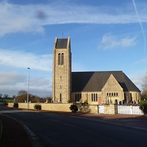
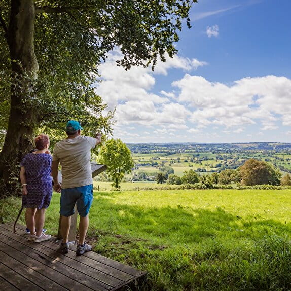
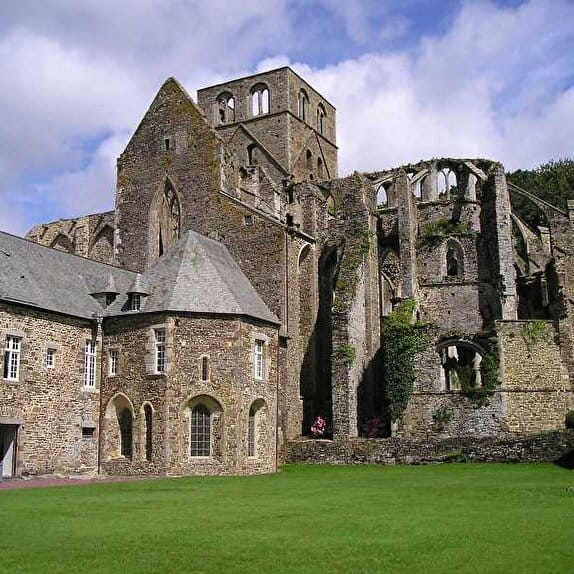
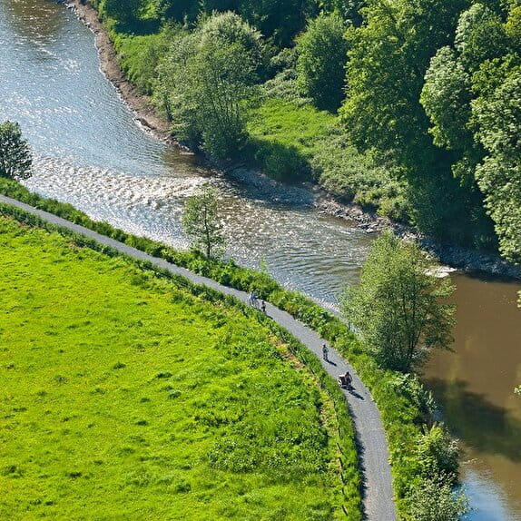
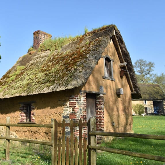
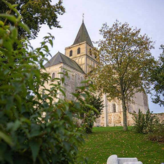
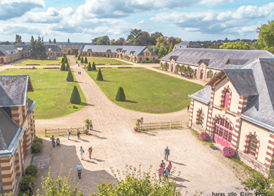
Starting in the heart of the prestigious Haras de Saint-Lô, this route takes you to the heights of the town, offering superb panoramic views over the town, the Vire valley and the surrounding area. The route alternates between tracks, wooded paths and hilly stretches, passing through Saint-Lô, Le Mesnil-Rouxelin and Saint-Georges-Montcocq. After some steep climbs, the effort is amply rewarded by breathtaking views over the Normandy bocage. And to cap it all off in style, the ride through the Haras de Saint-Lô marks a splendid finish, combining elegance and history, in this emblematic place of equine heritage.
Blue signposting
Sur les hauteurs de Saint-Lô
Lieu SAINT-LO
Trail
Practical information
Type of trail
Loop
Markup
Other
Starting point
SAINT-LO
| Elevation (m) | 65 | 76 | 77 | 70 | 61 | 49 | 72 | 102 | 92 | 77 | 120 | 110 | 113 | 93 | 55 | 41 | 43 | 87 | 83 | 97 | 105 | 114 | 119 | 126 | 121 | 102 | 92 | 96 | 85 | 60 | 51 | 38 | 36 | 42 | 36 | 36 | 27 | 37 | 55 | 59 | 65 |
|---|---|---|---|---|---|---|---|---|---|---|---|---|---|---|---|---|---|---|---|---|---|---|---|---|---|---|---|---|---|---|---|---|---|---|---|---|---|---|---|---|---|
| Distance | 0 km | 0.5 km | 0.7 km | 1 km | 1.2 km | 1.5 km | 1.7 km | 2.3 km | 2.9 km | 3.2 km | 4.3 km | 4.7 km | 5.3 km | 6.3 km | 6.8 km | 7.3 km | 7.5 km | 8 km | 8.5 km | 8.9 km | 9.3 km | 9.6 km | 10 km | 10.4 km | 11 km | 11.6 km | 12 km | 12.5 km | 12.7 km | 13 km | 13.3 km | 13.6 km | 14 km | 14.3 km | 14.5 km | 14.8 km | 15 km | 15.3 km | 15.6 km | 16 km | 16.5 km |
Hiker's tips
- Wear appropriate clothing for the route and the weather
- Make sure you take enough water
- Tell family or friends where you’re planning to go and make sure you take a fully charged mobile
- Protect nature: take your rubbish home with you, keep your dog on a lead and stay on the marked paths.