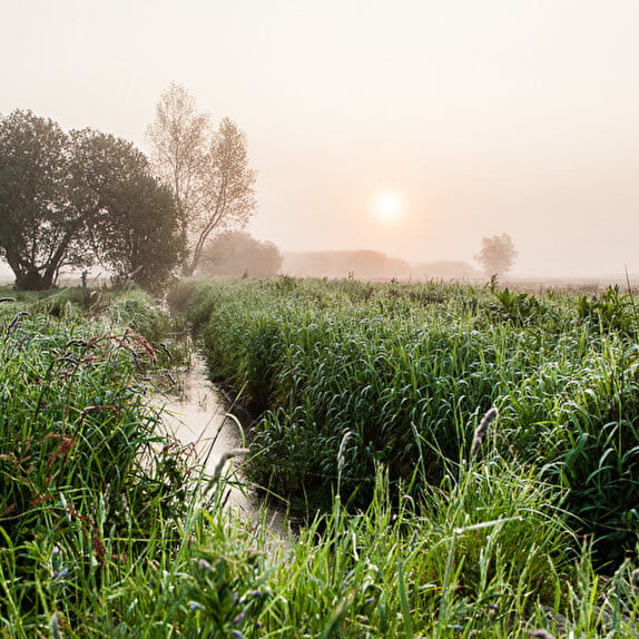
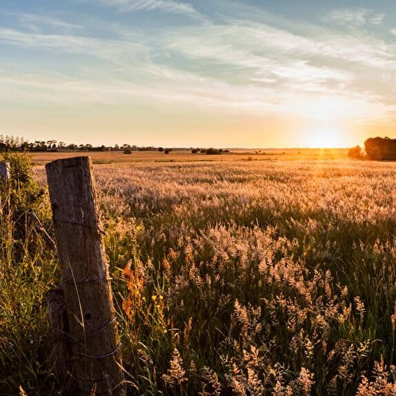
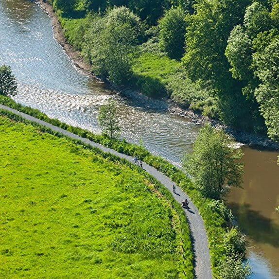
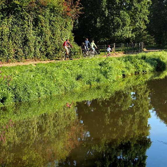
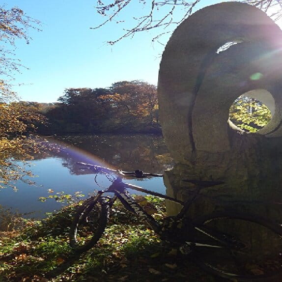
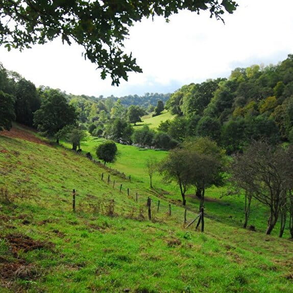
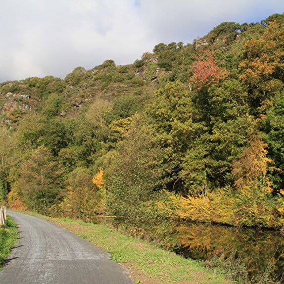
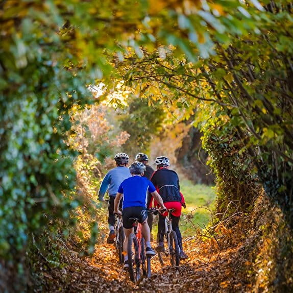
For walks in the quietness of the Normandy bocage, opt for a getaway in the Vallée de la Vire. The loop, divided into three small circuits, covers a total of around 40 kilometres. Beautiful viewpoints over the Vallée de la Vire are scattered along this circuit and are its strong point. Finally, part of this loop is common with the Route des Abbayes which leads to Mont-Saint-Michel.
There are several possible departures from the car parks of: Mancellière-Sur-Vire town hall, Chemin de Halage - RD 53 in Condé-Sur-Vire, canoeing base in Condé-Sur-Vire, Roches de ham in Brectouville, Chapelle-Sur-Vire in Troisgots, ...
Boucle de la Vallée de la Vire
Lieu BOURGVALLEES
Equestrian
Practical information
Type of trail
Loop
Markup
Orange
Starting point
BOURGVALLEES
Parking de la mairie de la Mancellière-Sur-Vire
Ending point
LA MANCELLIERE-SUR-VIRE
Parking de la Mairie de La Mancellière-Sur-Vire
| Elevation (m) | 29 | 97 | 72 | 86 | 43 | 52 | 52 | 42 | 80 | 33 | 29 | 68 | 29 | 30 | 34 | 34 | 90 | 90 | 93 | 88 | 71 | 80 | 100 | 135 | 115 | 65 | 117 | 117 | 103 | 72 | 103 | 57 | 25 | 25 | 25 | 22 | 22 | 20 | 20 | 21 | 19 |
|---|---|---|---|---|---|---|---|---|---|---|---|---|---|---|---|---|---|---|---|---|---|---|---|---|---|---|---|---|---|---|---|---|---|---|---|---|---|---|---|---|---|
| Distance | 0 km | 1 km | 2 km | 2.8 km | 3.9 km | 5.3 km | 6.5 km | 7.8 km | 9 km | 10.1 km | 10.9 km | 12.3 km | 13 km | 13.6 km | 14 km | 15.1 km | 16.3 km | 17.7 km | 19.1 km | 20.1 km | 21.2 km | 22.6 km | 24 km | 25 km | 26.2 km | 27.4 km | 28.9 km | 30.5 km | 31.8 km | 32.8 km | 33.7 km | 34.6 km | 35.6 km | 36.6 km | 37.1 km | 38.2 km | 39.2 km | 39.8 km | 40.2 km | 40.6 km | 41.6 km |
Hiker's tips
- Wear appropriate clothing for the route and the weather
- Make sure you take enough water
- Tell family or friends where you’re planning to go and make sure you take a fully charged mobile
- Protect nature: take your rubbish home with you, keep your dog on a lead and stay on the marked paths.