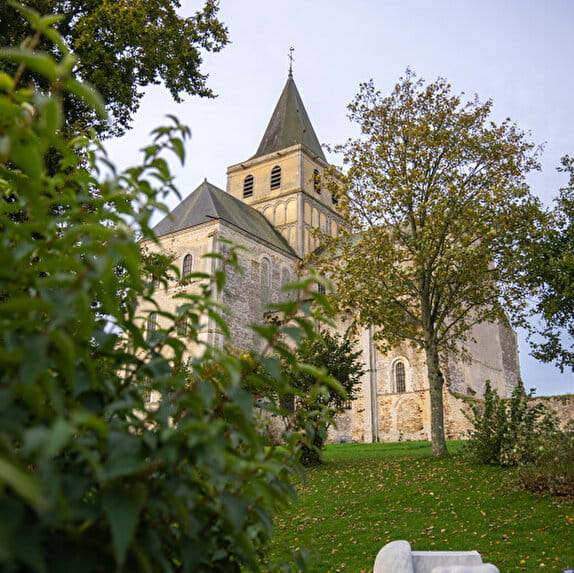
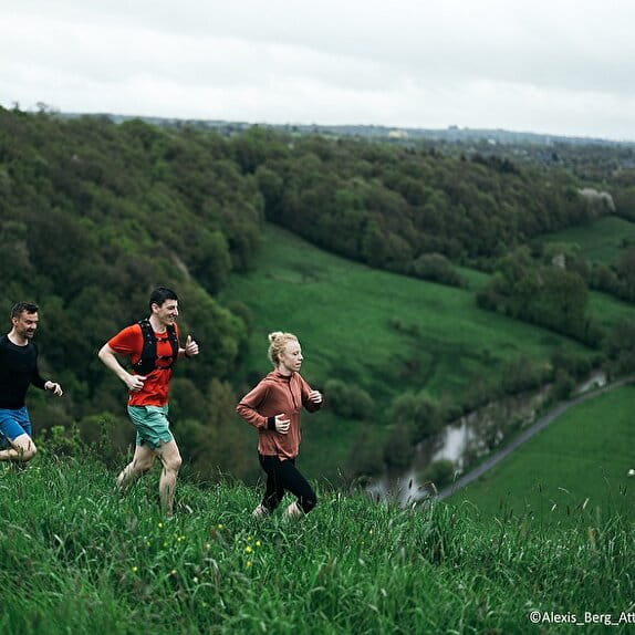
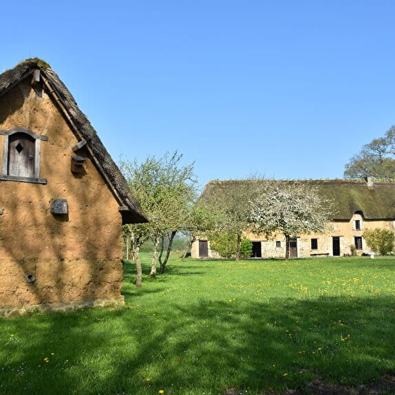
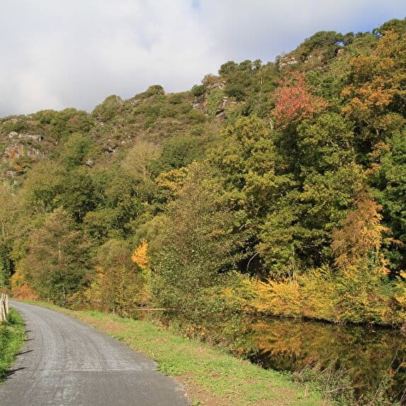
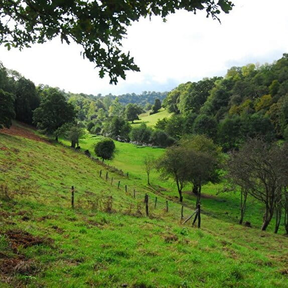
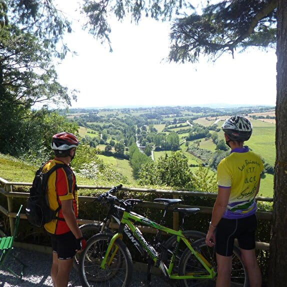
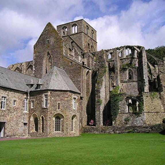
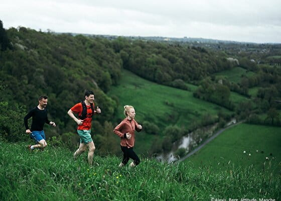
Situated in the heart of the Vire valley, this accessible and rejuvenating course is ideal for nature-lovers wishing to combine the pleasure of running with the discovery of the local heritage. Starting at the Condé sur Vire leisure centre, the route largely follows the meandering river Vire, offering runners panoramic views of the lush green landscapes of the Normandy bocage, where authenticity and tranquillity come together in harmony.
Green markings
Au fil de l'eau
Lieu CONDÉ-SUR-VIRE
Trail
Practical information
Type of trail
Loop
Starting point
CONDÉ-SUR-VIRE
| Elevation (m) | 24 | 25 | 25 | 26 | 27 | 27 | 31 | 34 | 37 | 42 | 57 | 70 | 86 | 84 | 70 | 64 | 52 | 53 | 46 | 41 | 39 | 39 | 40 | 44 | 52 | 51 | 51 | 49 | 51 | 36 | 32 | 25 | 21 | 21 | 23 | 24 | 22 | 22 | 22 | 24 | 25 |
|---|---|---|---|---|---|---|---|---|---|---|---|---|---|---|---|---|---|---|---|---|---|---|---|---|---|---|---|---|---|---|---|---|---|---|---|---|---|---|---|---|---|
| Distance | 0 km | 0.3 km | 0.5 km | 0.7 km | 0.8 km | 1 km | 1.4 km | 1.9 km | 2.2 km | 2.4 km | 2.8 km | 2.9 km | 3.1 km | 3.3 km | 3.5 km | 3.7 km | 4.2 km | 4.4 km | 4.6 km | 4.8 km | 5 km | 5.2 km | 5.4 km | 5.6 km | 5.8 km | 6 km | 6.2 km | 6.5 km | 7.2 km | 7.5 km | 7.7 km | 7.8 km | 8.1 km | 8.4 km | 8.6 km | 9 km | 9.1 km | 9.3 km | 9.3 km | 9.8 km | 10.3 km |
Hiker's tips
- Wear appropriate clothing for the route and the weather
- Make sure you take enough water
- Tell family or friends where you’re planning to go and make sure you take a fully charged mobile
- Protect nature: take your rubbish home with you, keep your dog on a lead and stay on the marked paths.