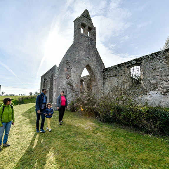
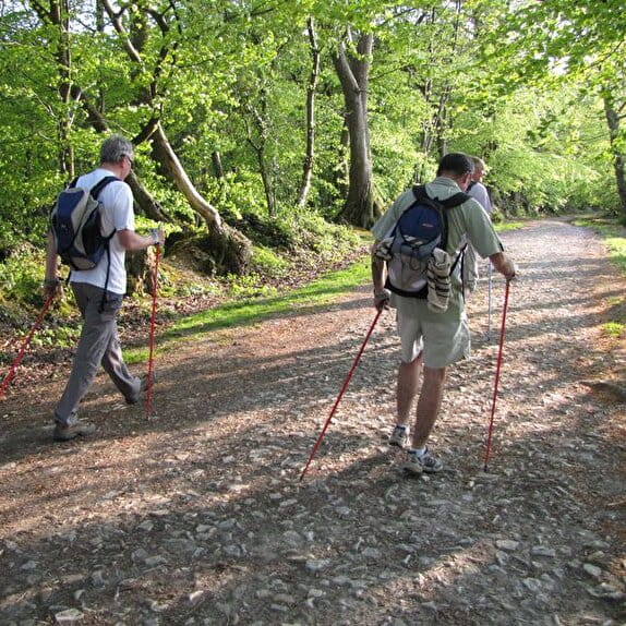
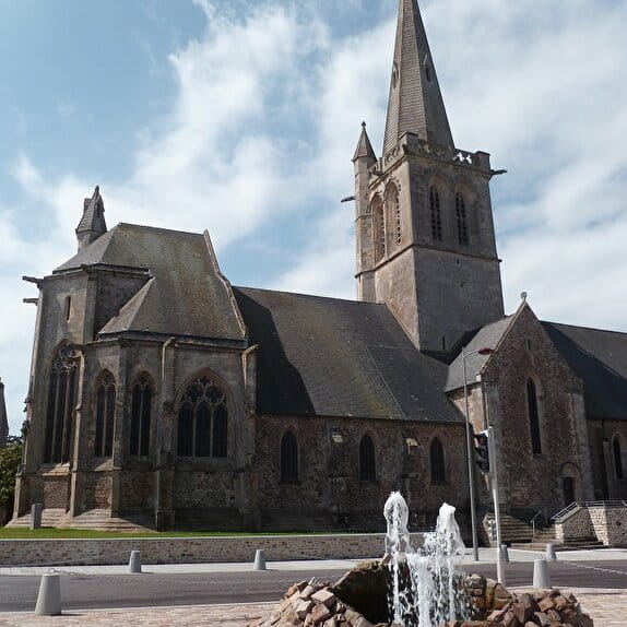
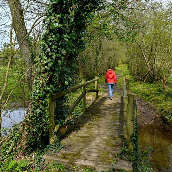
This route invites you to immerse yourself in the Normandy bocage, combining sporting effort and historical memory. Along picturesque country lanes, you'll pass through authentic, unspoilt landscapes, typical of the region. The route passes the German military cemetery at Marigny - Thèreval.
The route includes fording a small stream.
Red markings
Sentiers de l'histoire
Lieu MARIGNY-LE-LOZON
Trail

Practical information
Type of trail
Loop
Starting point
MARIGNY-LE-LOZON
| Elevation (m) | 78 | 81 | 67 | 70 | 74 | 69 | 67 | 65 | 71 | 75 | 83 | 86 | 88 | 68 | 81 | 75 | 70 | 67 | 41 | 42 | 54 | 66 | 76 | 59 | 44 | 47 | 34 | 54 | 64 | 96 | 104 | 105 | 110 | 104 | 80 | 86 | 98 | 107 | 96 | 87 |
|---|---|---|---|---|---|---|---|---|---|---|---|---|---|---|---|---|---|---|---|---|---|---|---|---|---|---|---|---|---|---|---|---|---|---|---|---|---|---|---|---|
| Distance | 0 km | 0.3 km | 0.6 km | 0.9 km | 1.7 km | 2.1 km | 2.4 km | 2.7 km | 3.3 km | 4 km | 4.6 km | 5 km | 5.4 km | 5.7 km | 6.4 km | 6.8 km | 7.2 km | 7.7 km | 8.3 km | 8.7 km | 9 km | 10 km | 10.6 km | 10.8 km | 11.5 km | 11.9 km | 12.1 km | 12.5 km | 12.8 km | 13.6 km | 14.5 km | 15 km | 15.7 km | 16.4 km | 17.1 km | 17.5 km | 18 km | 18.8 km | 19.6 km | 20.3 km |
Hiker's tips
- Wear appropriate clothing for the route and the weather
- Make sure you take enough water
- Tell family or friends where you’re planning to go and make sure you take a fully charged mobile
- Protect nature: take your rubbish home with you, keep your dog on a lead and stay on the marked paths.