Departure at : Périers, access to the greenway at the Rond-Point de Bastogne
GPS coordinates (Lat, Lon) : 49.182460, -1.408980
Cumulative positive difference in altitude : 170 m / Cumulative negative difference in altitude : -157 m
On your route
A ? Périers
All shops, restaurants, banks, post office, Manéo line n°9?
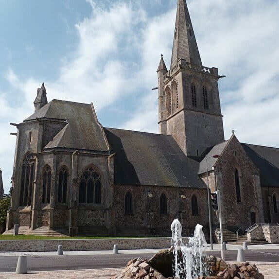
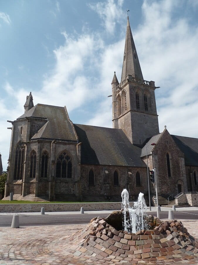
To see : Saint-Pierre church, Tollemer park
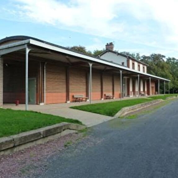
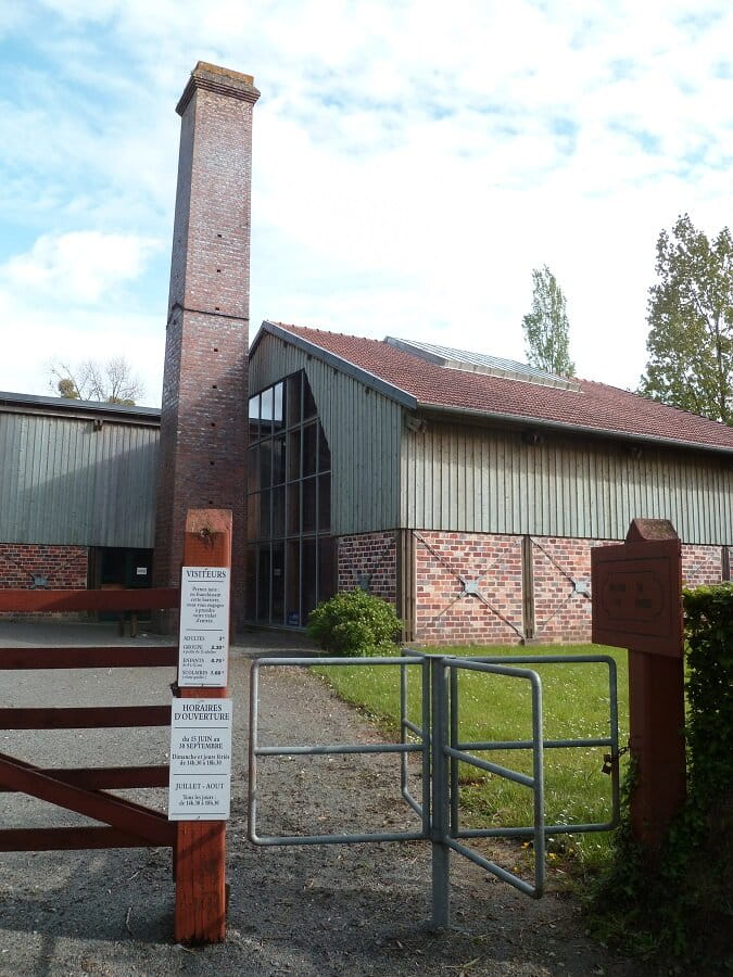
B ? House of Brick
To see: Museum retracing the history of brick and its use in the region (fee payable)
C ? Saint-Martin d?Aubigny
Grocery store, café/restaurant, natural municipal camping area
To see : Saint-Martin church
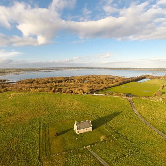
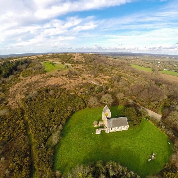
D ? Chapel of Saint-Christophe
To see : Chapel
E ? Feugères
Grocery store/press/post office and green point, café/bar/tobacco shop
To see : Pressoir à longue étreinte, Chapelle Notre-Dame-de-l?Huis-Ouvert
Itinéraire vélo / Périers - Saint-Martin-d'Aubigny - Feugères
Lieu PERIERS
Cycling
Practical information
Type of trail
Linear
Starting point
PERIERS
Ending point
FEUGERES
| Elevation (m) | 29 | 30 | 29 | 29 | 30 | 29 | 30 | 31 | 32 | 34 | 33 | 26 | 20 | 21 | 18 | 15 | 15 | 14 | 14 | 14 | 14 | 14 | 22 | 30 | 30 | 28 | 28 | 26 | 22 | 27 | 28 | 32 | 35 | 38 | 34 | 36 | 37 | 37 | 37 | 43 | 53 | 37 | 15 | 17 | 20 | 21 |
|---|---|---|---|---|---|---|---|---|---|---|---|---|---|---|---|---|---|---|---|---|---|---|---|---|---|---|---|---|---|---|---|---|---|---|---|---|---|---|---|---|---|---|---|---|---|---|
| Distance | 0 km | 0 km | 0.1 km | 0.3 km | 0.5 km | 0.6 km | 0.7 km | 1.2 km | 1.4 km | 1.6 km | 1.9 km | 2.4 km | 2.6 km | 2.9 km | 3.2 km | 3.3 km | 3.3 km | 3.4 km | 3.5 km | 3.5 km | 3.6 km | 3.6 km | 3.8 km | 4 km | 4.2 km | 4.6 km | 4.8 km | 5 km | 5.1 km | 5.3 km | 5.6 km | 6 km | 6.2 km | 6.5 km | 6.8 km | 7 km | 7.1 km | 7.4 km | 7.9 km | 8.2 km | 8.6 km | 8.9 km | 9.4 km | 9.6 km | 9.8 km | 9.8 km |
Hiker's tips
- Wear appropriate clothing for the route and the weather
- Make sure you take enough water
- Tell family or friends where you’re planning to go and make sure you take a fully charged mobile
- Protect nature: take your rubbish home with you, keep your dog on a lead and stay on the marked paths.