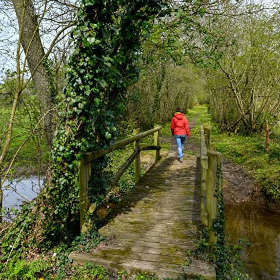
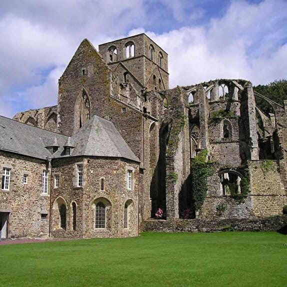
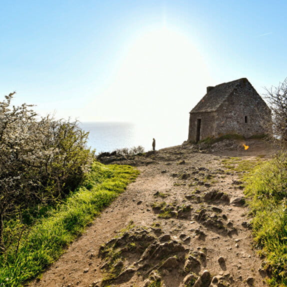
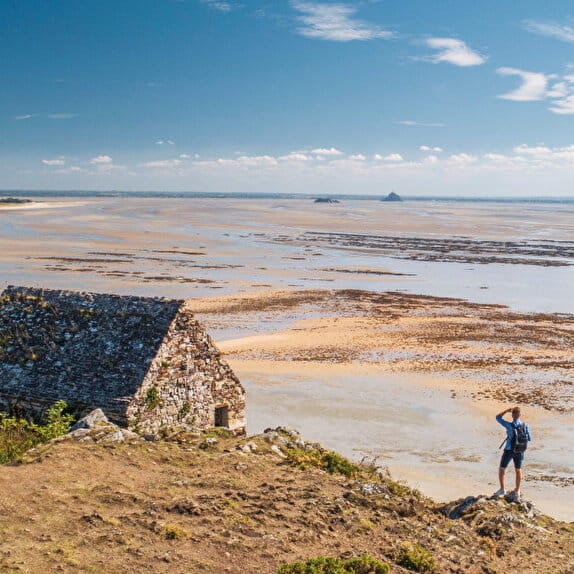
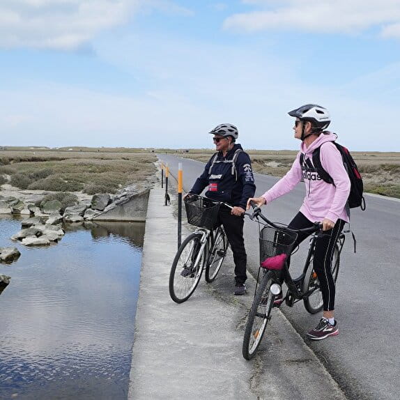
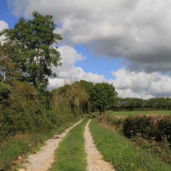
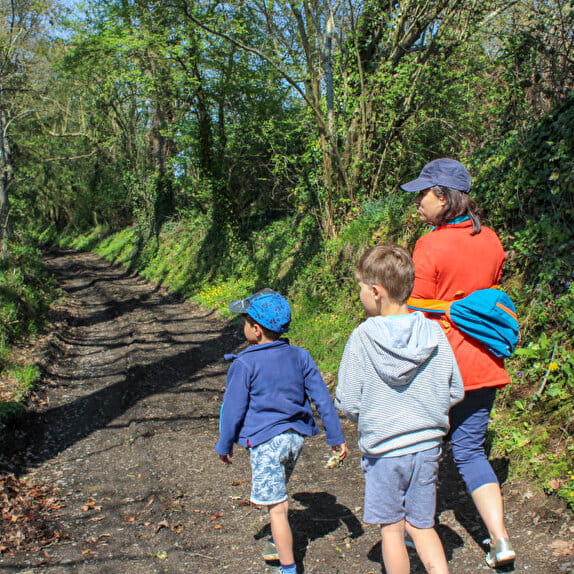
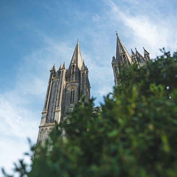
A short distance from Cérences, you can visit the Benedictine Abbey of Hambye, founded in the 12th century on the banks of the Siena river. Passing through Equilly, you will be amazed by the Logis and its medieval architectural and landscape ensemble. You will continue on your way to the village of La Haye-Pesnel.
Les chemins du Mont-Saint-Michel - Chemin de Barfleur - Cérences - La Haye-Pesnel
Lieu Cérences
Walking
Practical information
Type of trail
Linear
Markup
Other
Starting point
Cérences
Eglise de Cérences
Ending point
La Haye-Pesnel
Pont sur le Thar
| Elevation (m) | 57 | 52 | 68 | 68 | 75 | 64 | 72 | 73 | 80 | 76 | 68 | 55 | 52 | 81 | 92 | 86 | 95 | 99 | 112 | 101 | 90 | 95 | 100 | 96 | 100 | 95 | 70 | 115 | 110 | 102 | 124 | 126 | 127 | 126 | 119 | 116 | 116 | 95 | 91 | 79 | 77 |
|---|---|---|---|---|---|---|---|---|---|---|---|---|---|---|---|---|---|---|---|---|---|---|---|---|---|---|---|---|---|---|---|---|---|---|---|---|---|---|---|---|---|
| Distance | 0 km | 0.4 km | 1.3 km | 1.7 km | 2.6 km | 3 km | 3.5 km | 3.9 km | 4.3 km | 4.8 km | 5.2 km | 5.7 km | 6.1 km | 6.5 km | 6.8 km | 7.2 km | 7.6 km | 8 km | 8.6 km | 9.4 km | 9.8 km | 10.1 km | 11.1 km | 11.4 km | 12.1 km | 12.7 km | 13.2 km | 14 km | 15 km | 15.7 km | 16.6 km | 17.2 km | 17.7 km | 18.1 km | 18.7 km | 19.2 km | 19.4 km | 20 km | 20.7 km | 21.1 km | 21.5 km |
Hiker's tips
- Wear appropriate clothing for the route and the weather
- Make sure you take enough water
- Tell family or friends where you’re planning to go and make sure you take a fully charged mobile
- Protect nature: take your rubbish home with you, keep your dog on a lead and stay on the marked paths.