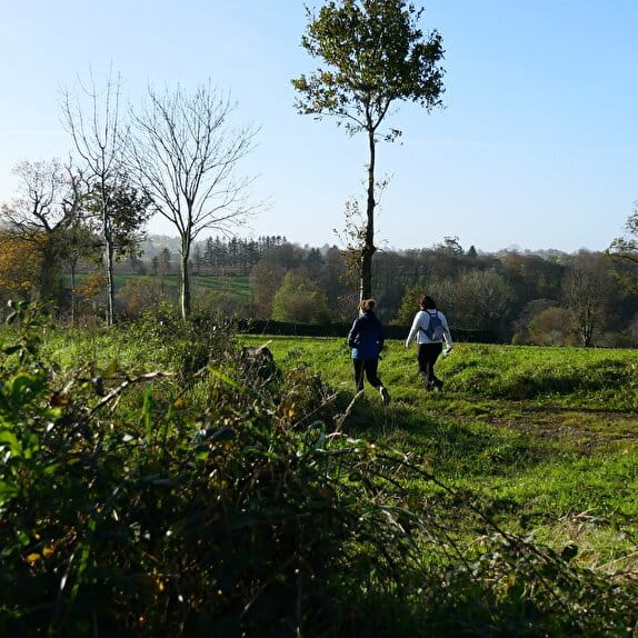
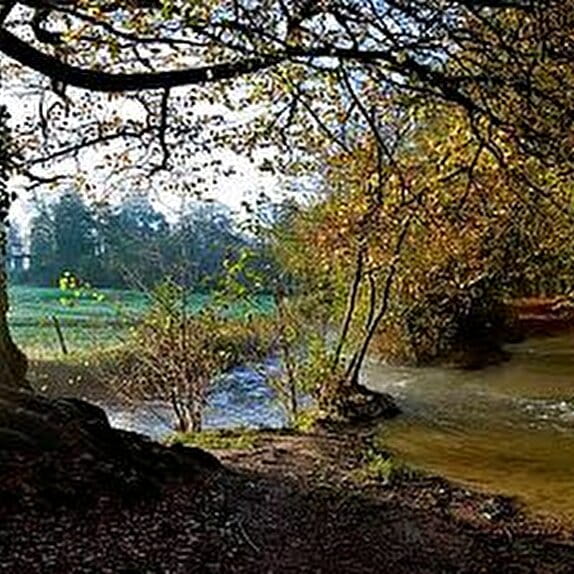
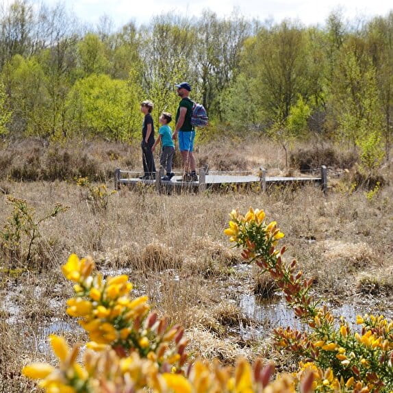
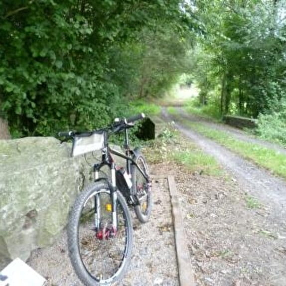
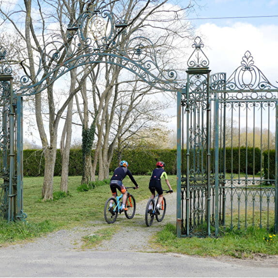
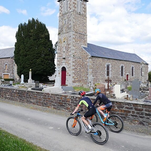
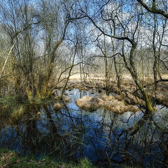
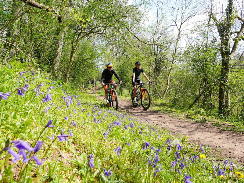
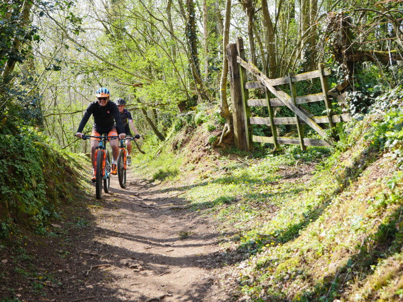
Between the two valleys of Le Boscq and L'Oiselière, in the heart of a green setting, this mountain bike ride will guide you through a precious little heritage. Ready to immerse yourself in the real Normandy bocage?
NOT TO BE MISSED
- The 18th-century manor house (private)
- Bocage paths around Le Boscq
- The Oiselière Priory
- The Venlée path along the valley carved out by the Oiselière river
THINK OF THE FOOTPRINT YOU LEAVE
- Hold on to your dog as tightly as you would your helm
- Dispose of your garbage as carefully as you dispose of seashells
- Walk the marked trails while enjoying your freedom
PRACTICAL TIPS
- Refill your water bottle at one of our partners > gourdefriendly.green/
- Report a problem on the trails with SURICATE > sentinelles.sportsdenature.fr/
Le Boscq, l'Oiselière
Lieu Saint-Planchers
Mountain bike
Practical information
Type of trail
Loop
Markup
Yellow
Starting point
Saint-Planchers
rue des pommiers
Ending point
Saint-Planchers
rue des pommiers
| Elevation (m) | 48 | 38 | 54 | 58 | 43 | 51 | 56 | 61 | 63 | 61 | 53 | 39 | 35 | 46 | 43 | 47 | 60 | 50 | 59 | 77 | 70 | 63 | 74 | 83 | 75 | 80 | 83 | 84 | 77 | 76 | 74 | 65 | 67 | 58 | 59 | 51 | 47 | 49 | 43 | 34 | 35 | 41 | 47 |
|---|---|---|---|---|---|---|---|---|---|---|---|---|---|---|---|---|---|---|---|---|---|---|---|---|---|---|---|---|---|---|---|---|---|---|---|---|---|---|---|---|---|---|---|
| Distance | 0 km | 0.6 km | 1.2 km | 1.7 km | 2.1 km | 2.7 km | 2.9 km | 3.1 km | 3.4 km | 3.9 km | 4.2 km | 4.8 km | 5.1 km | 5.3 km | 5.8 km | 6.1 km | 6.4 km | 6.7 km | 7 km | 7.5 km | 7.8 km | 8.1 km | 8.5 km | 9 km | 9.5 km | 9.8 km | 9.9 km | 10.1 km | 10.4 km | 10.8 km | 11.2 km | 11.6 km | 11.8 km | 12.2 km | 12.3 km | 12.7 km | 12.9 km | 13.2 km | 13.4 km | 13.6 km | 14 km | 14.3 km | 14.6 km |
Hiker's tips
- Wear appropriate clothing for the route and the weather
- Make sure you take enough water
- Tell family or friends where you’re planning to go and make sure you take a fully charged mobile
- Protect nature: take your rubbish home with you, keep your dog on a lead and stay on the marked paths.