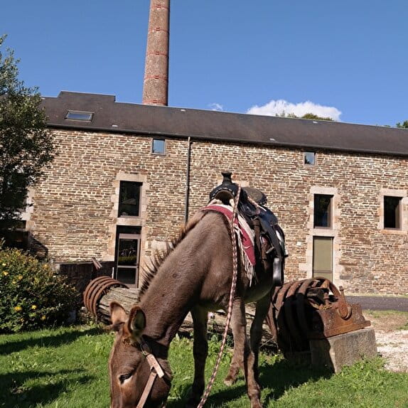
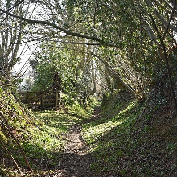
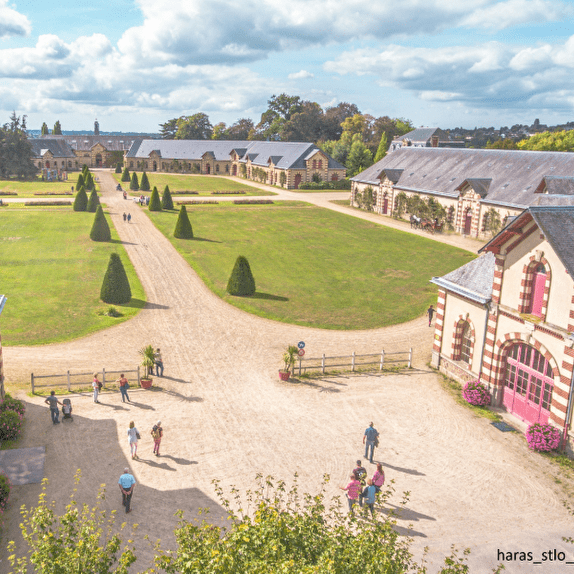
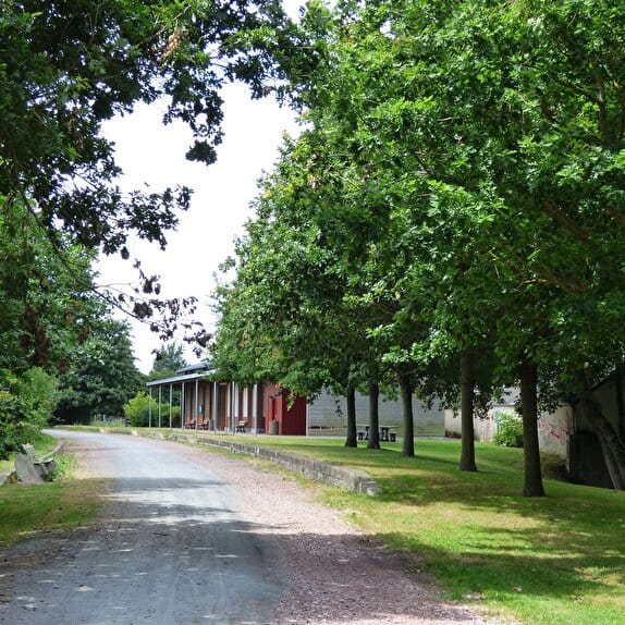
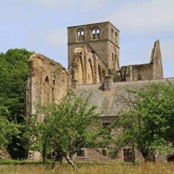
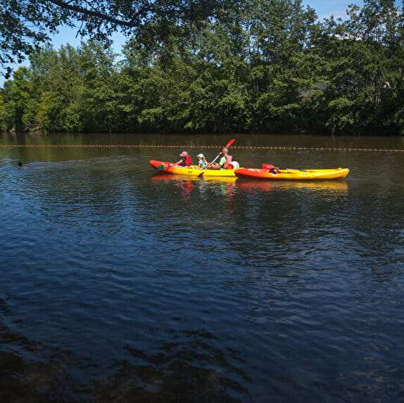
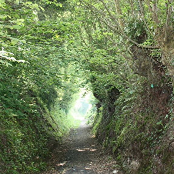
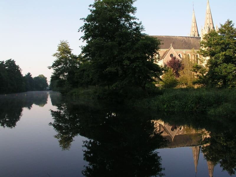
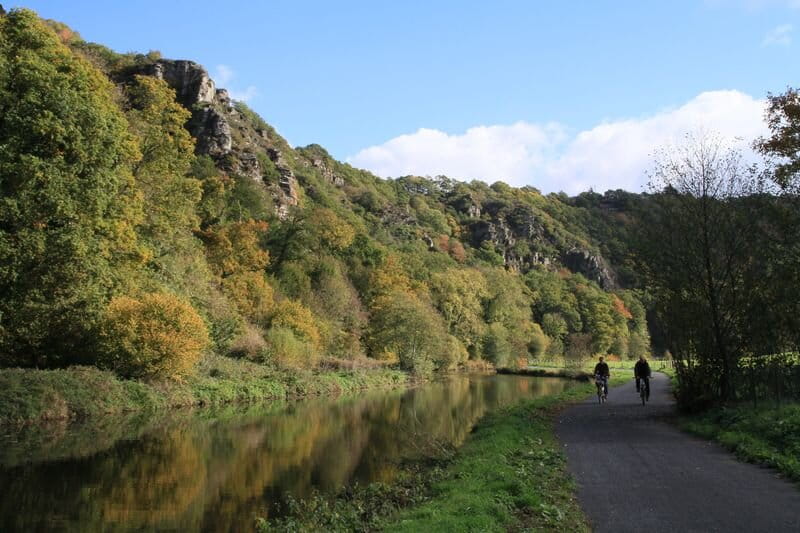
After Baudre, you will join the towpath of the Vire valley. You will encounter lock keepers' houses which remind you that the Vire was navigable until the 20th century. You can take a break at the rest stop in Sainte-Suzanne-sur-Vire before heading to Condé-sur-Vire. At Le Mesnil-Raoult, you will leave the towpath to take paths through the picturesque Normandy bocage to Pont-Farcy, the terminus of the itinerary in the Manche department.
La Rando des Haras Nationaux - Baudre - Pont-Farcy
Lieu BAUDRE
Equestrian
Practical information
Type of trail
Linear
Markup
Orange
Starting point
BAUDRE
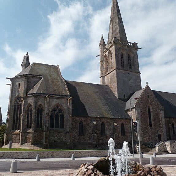
Eglise de Baudre
Ending point
PONT-FARCY
| Elevation (m) | 73 | 58 | 23 | 18 | 17 | 20 | 20 | 19 | 22 | 19 | 31 | 21 | 23 | 22 | 27 | 25 | 26 | 26 | 35 | 53 | 82 | 107 | 104 | 120 | 126 | 110 | 61 | 68 | 113 | 89 | 94 | 83 | 82 | 80 | 47 | 66 | 51 | 60 | 51 | 51 | 52 |
|---|---|---|---|---|---|---|---|---|---|---|---|---|---|---|---|---|---|---|---|---|---|---|---|---|---|---|---|---|---|---|---|---|---|---|---|---|---|---|---|---|---|
| Distance | 0 km | 0.5 km | 1 km | 1.6 km | 2.6 km | 3.1 km | 3.4 km | 3.8 km | 4.4 km | 5.2 km | 5.5 km | 5.8 km | 6.4 km | 7.1 km | 8 km | 8.5 km | 8.9 km | 9.4 km | 10.3 km | 11 km | 11.8 km | 12.3 km | 13.3 km | 13.9 km | 14.5 km | 15.9 km | 16.9 km | 17.7 km | 18.6 km | 19.4 km | 19.8 km | 20.7 km | 21.4 km | 22.3 km | 23.1 km | 23.6 km | 24.2 km | 24.7 km | 25.4 km | 26.5 km | 27.8 km |
Hiker's tips
- Wear appropriate clothing for the route and the weather
- Make sure you take enough water
- Tell family or friends where you’re planning to go and make sure you take a fully charged mobile
- Protect nature: take your rubbish home with you, keep your dog on a lead and stay on the marked paths.