Cumulative positive elevation gain : 135 m / Cumulative negative elevation gain : -135 m
On your route
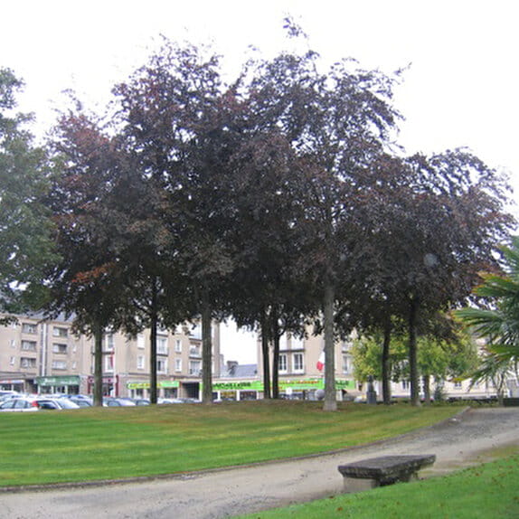
A ? Starting point : rue de la gare in front of the media library in Périers
All shops and services, restaurants, cafés, playground
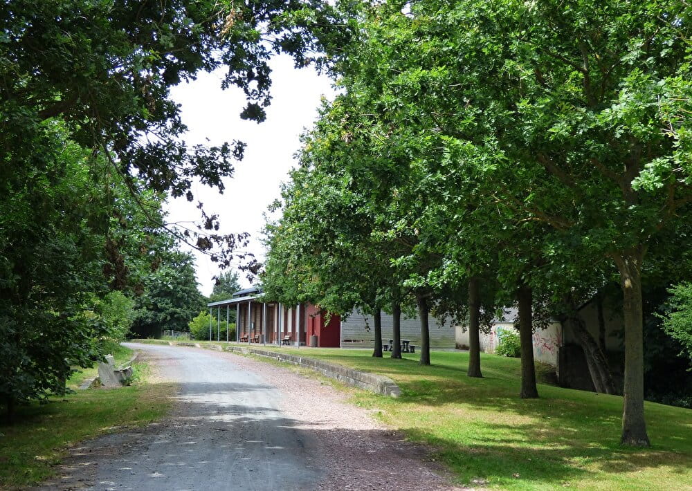
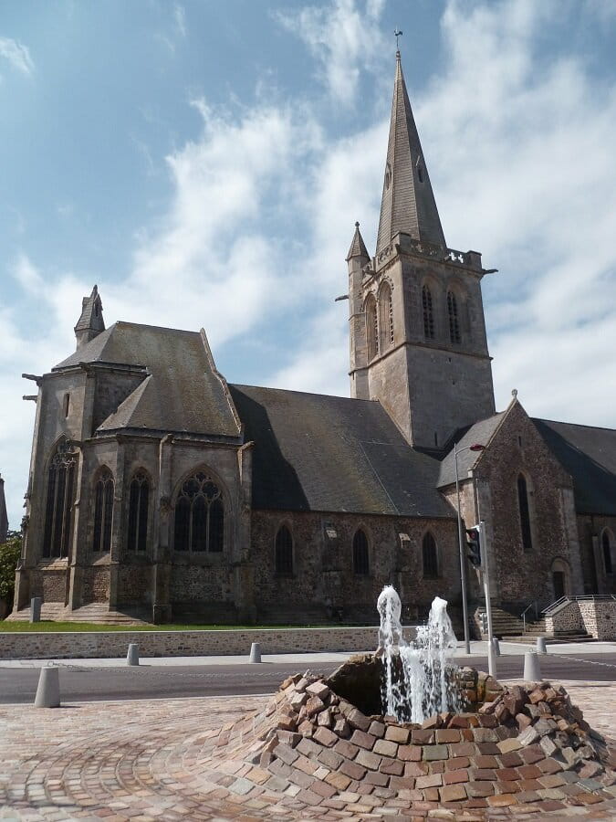
To see: old station, park and Tollemer house, Saint-Pierre church classified as a Historic Monument, the Holerotte (tributary of the Sèves),
the Chemin de l'Hôpital which commemorates a historic passage for the liberation of Périers on July 26, 1944.
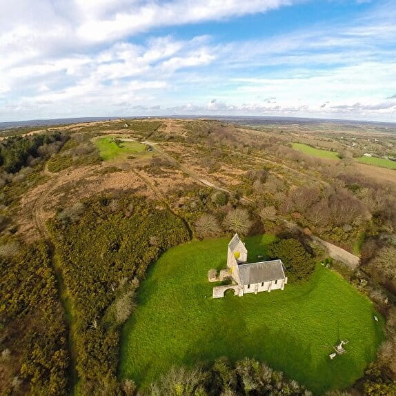
B ? Gonfreville
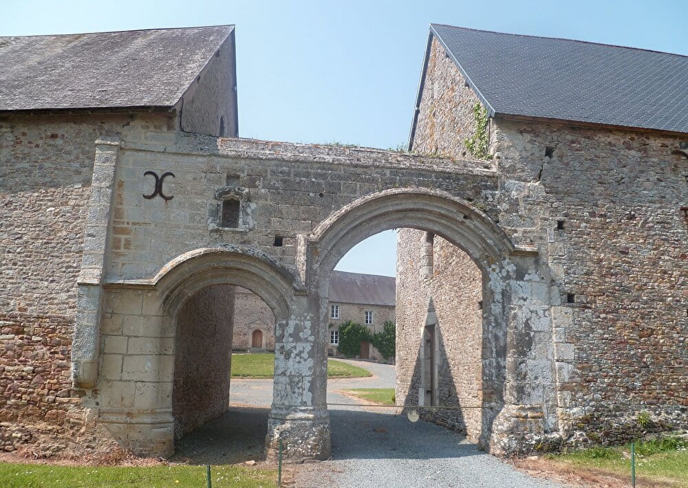
To see : Saint-Manvieu church, manor classified as a Historic Monument (private)
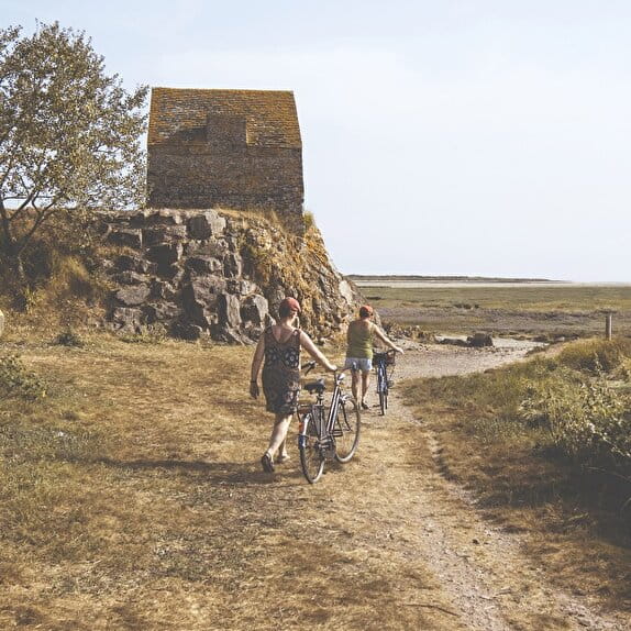
C ? Nay
To see : ruins of the old church
D ? Saint-Germain-sur-Sèves : playground and picnic tables near the town hall
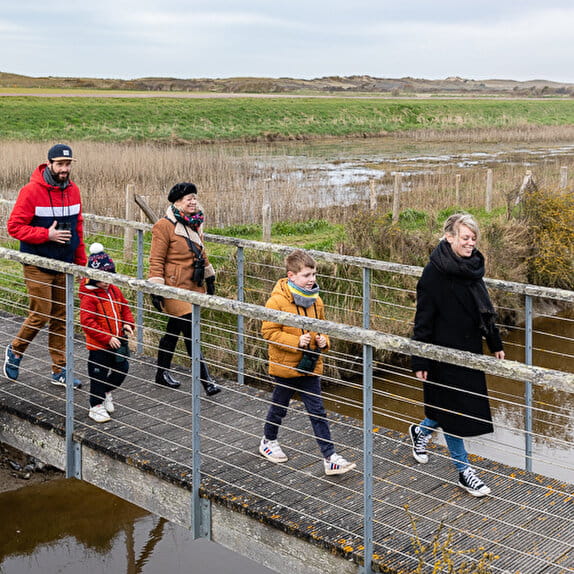
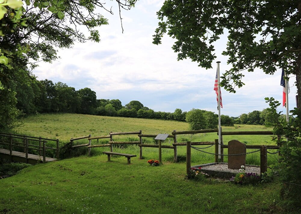
To have : stele of Sèves Island, marshes of the valley of the Sèves and the Taute
Boucle vélo - La Sèves et l'Holerotte
Lieu PERIERS
Cycling
Practical information
Type of trail
Loop
Starting point
PERIERS
Devant la médiathèque de Périers, rue de la gare
Ending point
PERIERS
Devant la médiathèque de Périers, rue de la gare
| Elevation (m) | 29 | 23 | 21 | 20 | 16 | 18 | 23 | 11 | 8 | 15 | 21 | 16 | 15 | 15 | 18 | 18 | 15 | 10 | 16 | 5 | 6 | 6 | 6 | 7 | 8 | 18 | 14 | 9 | 11 | 10 | 14 | 15 | 8 | 8 | 14 | 17 | 14 | 13 | 20 | 26 | 24 | 26 |
|---|---|---|---|---|---|---|---|---|---|---|---|---|---|---|---|---|---|---|---|---|---|---|---|---|---|---|---|---|---|---|---|---|---|---|---|---|---|---|---|---|---|---|
| Distance | 0 km | 0.5 km | 1 km | 1.3 km | 1.5 km | 1.8 km | 2.5 km | 3.2 km | 3.7 km | 4 km | 4.4 km | 4.8 km | 5.4 km | 5.8 km | 6.3 km | 7.2 km | 7.7 km | 8.1 km | 8.7 km | 9.2 km | 9.9 km | 10.3 km | 11 km | 11.6 km | 11.9 km | 12.6 km | 13.2 km | 13.8 km | 14.3 km | 14.9 km | 15.6 km | 16.4 km | 17 km | 17.3 km | 17.6 km | 18.2 km | 18.8 km | 19.4 km | 20.2 km | 21 km | 21.2 km | 21.5 km |
Hiker's tips
- Wear appropriate clothing for the route and the weather
- Make sure you take enough water
- Tell family or friends where you’re planning to go and make sure you take a fully charged mobile
- Protect nature: take your rubbish home with you, keep your dog on a lead and stay on the marked paths.