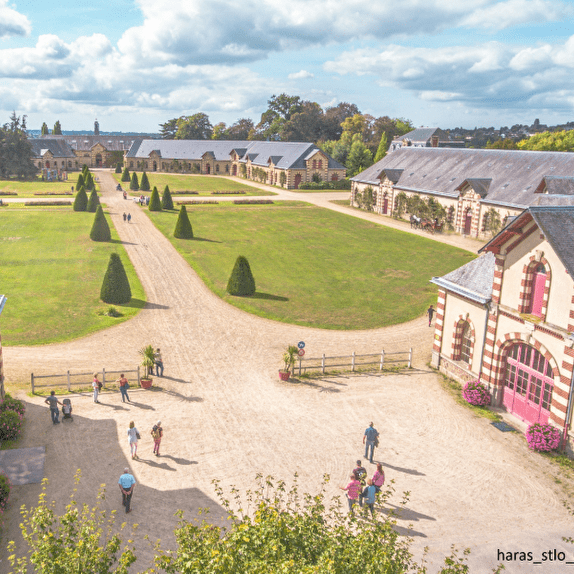
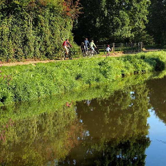
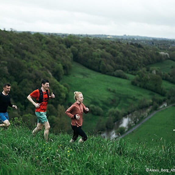
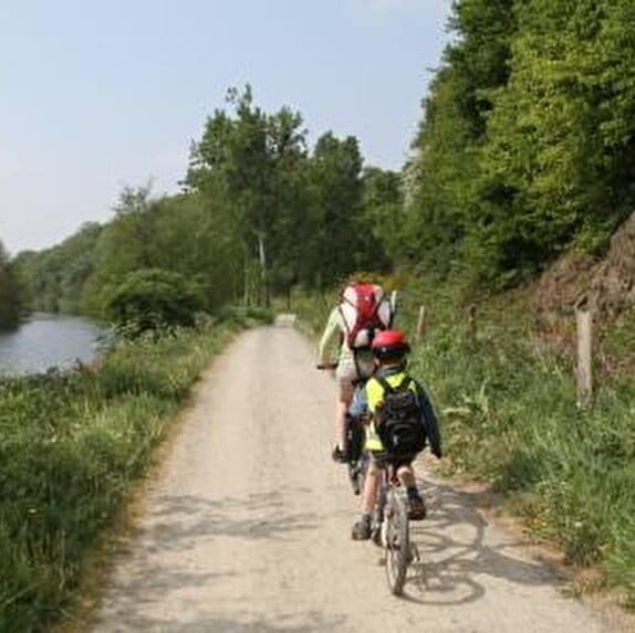
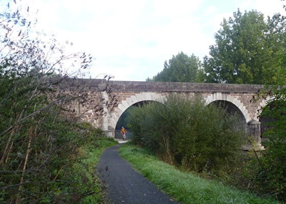
From the Candol bridge, located south of Saint-Lô, you will follow the Vire and its meanders before reaching the villages of other valleys, those of the Joigne and the Hain. Here, the bocage dominates. The circuit is long and difficult.
Les trois vallées
Lieu CANISY
Mountain bike
Practical information
Type of trail
Loop
Markup
Other
Starting point
CANISY
Le pré de Candol
Ending point
SAINT-EBREMOND-DE-BONFOSSE
Le Pré de Candol
| Elevation (m) | 13 | 13 | 19 | 46 | 52 | 86 | 72 | 68 | 53 | 86 | 64 | 58 | 77 | 89 | 90 | 76 | 59 | 85 | 88 | 89 | 109 | 112 | 101 | 79 | 98 | 104 | 115 | 111 | 136 | 129 | 115 | 112 | 80 | 73 | 97 | 32 | 19 | 19 | 20 | 18 | 15 |
|---|---|---|---|---|---|---|---|---|---|---|---|---|---|---|---|---|---|---|---|---|---|---|---|---|---|---|---|---|---|---|---|---|---|---|---|---|---|---|---|---|---|
| Distance | 0 km | 1.2 km | 2.3 km | 2.9 km | 3.9 km | 5.4 km | 6.5 km | 7.1 km | 7.7 km | 8.5 km | 9.7 km | 10.2 km | 10.8 km | 11.4 km | 12.4 km | 12.9 km | 13.6 km | 14.5 km | 15.4 km | 16 km | 17 km | 17.5 km | 18.1 km | 18.9 km | 20 km | 21.5 km | 22.3 km | 23.4 km | 24.6 km | 26.3 km | 27.1 km | 27.8 km | 28.6 km | 29.3 km | 30.2 km | 31.2 km | 31.6 km | 32.2 km | 32.6 km | 33.8 km | 35.1 km |
Hiker's tips
- Wear appropriate clothing for the route and the weather
- Make sure you take enough water
- Tell family or friends where you’re planning to go and make sure you take a fully charged mobile
- Protect nature: take your rubbish home with you, keep your dog on a lead and stay on the marked paths.