This trail is for hardy, seasoned trail runners ready for a demanding challenge. With its long distance and series of climbs and descents, it will test your endurance and your ability to get going again.
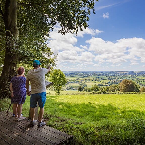
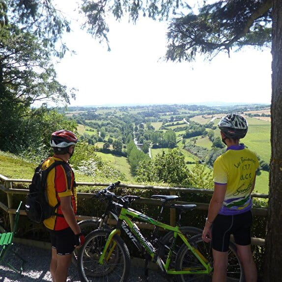
Combining the layouts of the previous courses, it takes you on an undulating route through the communes of Rampan, Pont-Hébert, Thèreval and Agneaux, with a passage through the cliff wood, offering a complete immersion in the Normandy bocage.
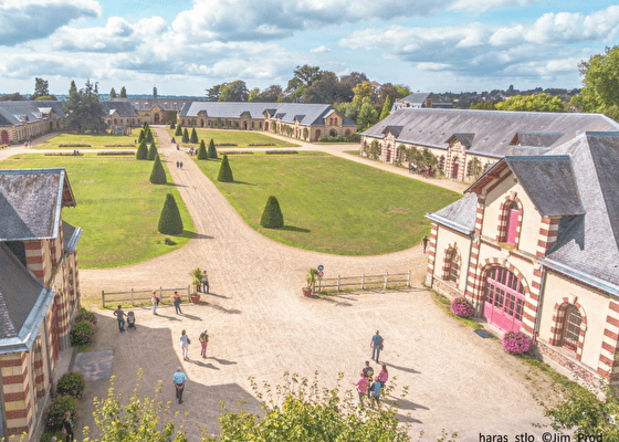
Finally, the arrival at the heart of the Haras de Saint-Lô concludes this intense journey on a historic and picturesque note, well-deserved after such a challenge.
Red markings
Entre Vire et Vallons
Lieu SAINT-LO
Trail
Practical information
Type of trail
Loop
Starting point
SAINT-LO
| Elevation (m) | 65 | 74 | 60 | 60 | 102 | 81 | 119 | 106 | 98 | 38 | 51 | 72 | 102 | 120 | 112 | 108 | 84 | 20 | 32 | 59 | 83 | 62 | 23 | 17 | 15 | 17 | 10 | 13 | 8 | 25 | 58 | 35 | 77 | 62 | 54 | 53 | 48 | 28 | 18 | 12 | 22 | 39 | 64 |
|---|---|---|---|---|---|---|---|---|---|---|---|---|---|---|---|---|---|---|---|---|---|---|---|---|---|---|---|---|---|---|---|---|---|---|---|---|---|---|---|---|---|---|---|
| Distance | 0 km | 0.8 km | 1.3 km | 1.6 km | 2.3 km | 3.1 km | 4.2 km | 4.9 km | 6.1 km | 7.2 km | 7.6 km | 8.4 km | 9.2 km | 10 km | 11.4 km | 12.1 km | 13.1 km | 13.6 km | 14.5 km | 15.1 km | 15.8 km | 16.4 km | 17.2 km | 18.2 km | 19.1 km | 19.9 km | 20.3 km | 21 km | 21.7 km | 22.3 km | 22.9 km | 23.8 km | 24.8 km | 25.7 km | 26.5 km | 27.2 km | 27.8 km | 28.3 km | 29.3 km | 30 km | 30.6 km | 31.2 km | 32 km |
Hiker's tips
- Wear appropriate clothing for the route and the weather
- Make sure you take enough water
- Tell family or friends where you’re planning to go and make sure you take a fully charged mobile
- Protect nature: take your rubbish home with you, keep your dog on a lead and stay on the marked paths.