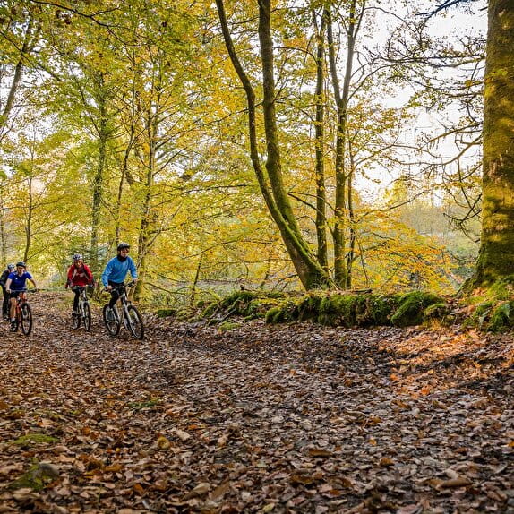
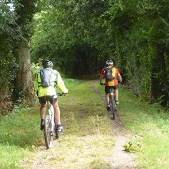
Sée Valley FFC mountain biking area. Circuit certified by the French Cycling Federation.
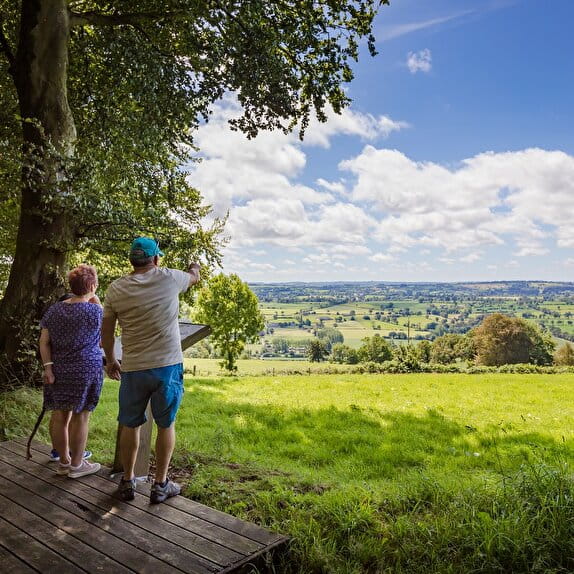
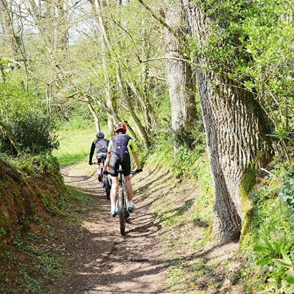
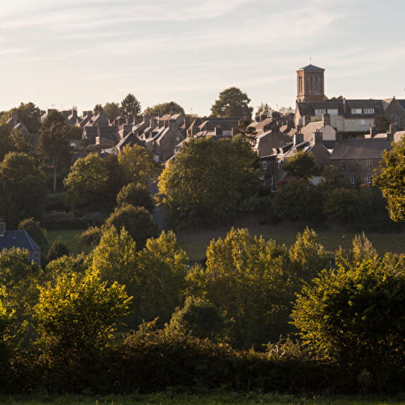
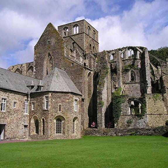
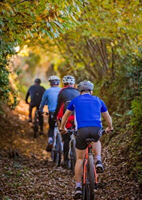
This 59.1 km circuit is for experienced mountain bikers, and requires time and a sturdy bike. It is made up of sunken paths, stony climbs and fairly technical descents through undergrowth. Situated in the Normandy bocage, this circuit of hills (Mont Buon, Mont Robert, Mont pelé and Montjoie) and valleys passes through a dozen communes with a rich history (Coulouvray Boisbenâtre, Saint Martin le bouillant, etc.), where the softness of the water blends with the hardness of the granite. It also allows you to discover the local history by talking to the locals.
Entre Sée et Sienne
Lieu SAINT-POIS
Mountain bike
Practical information
Type of trail
Loop
Markup
Black
Starting point
SAINT-POIS
26 Le Bourg
Ending point
SAINT-POIS
26 Le bourg
| Elevation (m) | 176 | 126 | 219 | 144 | 138 | 119 | 181 | 216 | 157 | 160 | 197 | 279 | 352 | 322 | 273 | 254 | 294 | 290 | 288 | 256 | 233 | 218 | 215 | 217 | 217 | 220 | 171 | 135 | 137 | 105 | 177 | 201 | 220 | 227 | 228 | 214 | 200 | 191 | 187 | 211 | 189 |
|---|---|---|---|---|---|---|---|---|---|---|---|---|---|---|---|---|---|---|---|---|---|---|---|---|---|---|---|---|---|---|---|---|---|---|---|---|---|---|---|---|---|
| Distance | 0 km | 1.5 km | 2.9 km | 4.4 km | 5.8 km | 7.3 km | 8.8 km | 10.2 km | 11.7 km | 13.2 km | 14.6 km | 16.1 km | 17.5 km | 19 km | 20.5 km | 21.9 km | 23.4 km | 24.8 km | 26.3 km | 27.8 km | 29.2 km | 30.7 km | 32.1 km | 33.6 km | 35 km | 36.5 km | 38 km | 39.4 km | 40.9 km | 42.4 km | 43.8 km | 45.3 km | 46.8 km | 48.2 km | 49.7 km | 51.1 km | 52.6 km | 54.1 km | 55.5 km | 57 km | 58.4 km |
Hiker's tips
- Wear appropriate clothing for the route and the weather
- Make sure you take enough water
- Tell family or friends where you’re planning to go and make sure you take a fully charged mobile
- Protect nature: take your rubbish home with you, keep your dog on a lead and stay on the marked paths.