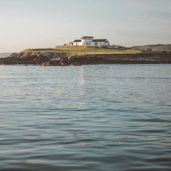
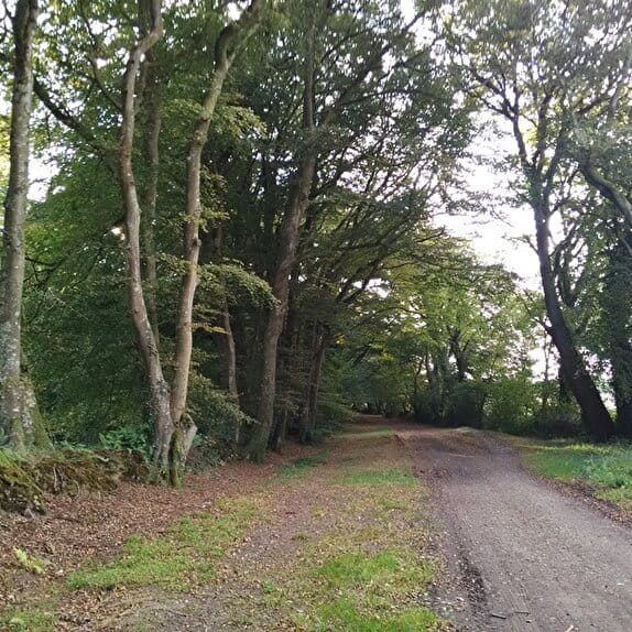
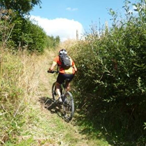
Departing from Cherbourg, you will enjoy the former transatlantic ferry terminal and its views of the harbours and the submarine Le Redoutable. The itinerary continues through the typical Normandy bocage to reach the small town of Les Pieux.
Les chemins du Mont-Saint-Michel - Chemin de Cherbourg - Cherbourg-en-Cotentin - Les Pieux
Lieu CHERBOURG-EN-COTENTIN
Walking
Practical information
Type of trail
Linear
Markup
Other
Starting point
CHERBOURG-EN-COTENTIN
Eglise Sainte-Trinité
Ending point
LES PIEUX
Mairie des Pieux
| Elevation (m) | 3 | 4 | 39 | 73 | 102 | 82 | 70 | 56 | 77 | 119 | 144 | 153 | 144 | 117 | 103 | 71 | 32 | 56 | 55 | 51 | 53 | 44 | 57 | 65 | 71 | 62 | 72 | 82 | 70 | 65 | 81 | 76 | 62 | 73 | 68 | 61 | 58 | 74 | 87 | 94 | 97 | 115 |
|---|---|---|---|---|---|---|---|---|---|---|---|---|---|---|---|---|---|---|---|---|---|---|---|---|---|---|---|---|---|---|---|---|---|---|---|---|---|---|---|---|---|---|
| Distance | 0 km | 0.4 km | 1.5 km | 2.1 km | 3.4 km | 4.1 km | 4.8 km | 5.3 km | 5.9 km | 6.6 km | 7.5 km | 8.2 km | 9.1 km | 9.7 km | 10.3 km | 10.9 km | 11.6 km | 12.5 km | 13 km | 13.7 km | 14.1 km | 14.5 km | 15.1 km | 15.9 km | 16.4 km | 17 km | 17.4 km | 17.7 km | 18.4 km | 18.8 km | 19.4 km | 20 km | 20.6 km | 21.3 km | 21.9 km | 22.8 km | 23.4 km | 23.9 km | 24.7 km | 25.2 km | 25.5 km | 26 km |
Hiker's tips
- Wear appropriate clothing for the route and the weather
- Make sure you take enough water
- Tell family or friends where you’re planning to go and make sure you take a fully charged mobile
- Protect nature: take your rubbish home with you, keep your dog on a lead and stay on the marked paths.