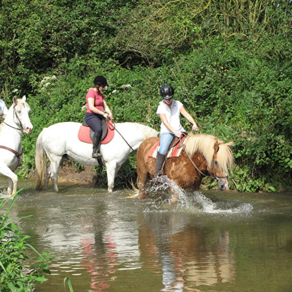
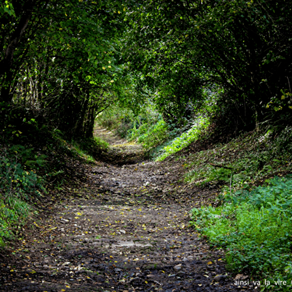
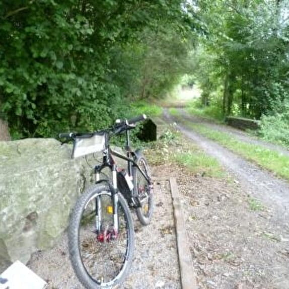
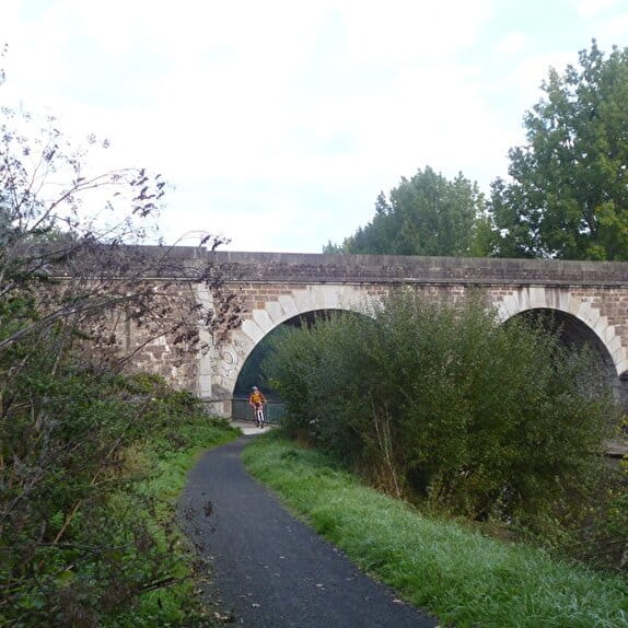
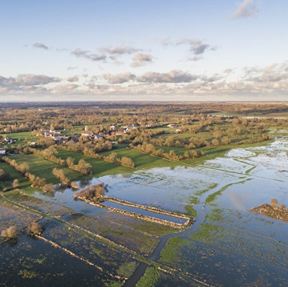
Alternating wooded paths, rolling trails and more technical sections, this route follows part of the meandering Vire river, offering typical Normandy bocage landscapes.
The varied route offers ideal stretches to work on endurance and relaxation, while also offering some fine climbs and relaunches. From shady stretches to sweeping views over the valley, this is a real playground for trail runners in search of nature and adventure.
Red markings
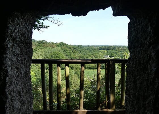
La grotte du diable
Lieu CONDÉ-SUR-VIRE
Trail
Practical information
Type of trail
Loop
Starting point
CONDÉ-SUR-VIRE
| Elevation (m) | 24 | 25 | 38 | 49 | 94 | 98 | 119 | 120 | 85 | 36 | 49 | 57 | 46 | 42 | 93 | 69 | 55 | 39 | 45 | 46 | 51 | 60 | 50 | 95 | 133 | 132 | 140 | 152 | 105 | 134 | 97 | 65 | 61 | 84 | 86 | 69 | 83 | 107 | 75 | 55 | 24 |
|---|---|---|---|---|---|---|---|---|---|---|---|---|---|---|---|---|---|---|---|---|---|---|---|---|---|---|---|---|---|---|---|---|---|---|---|---|---|---|---|---|---|
| Distance | 0 km | 0.7 km | 1.8 km | 2.7 km | 3.4 km | 4.5 km | 5.4 km | 6.3 km | 7 km | 7.7 km | 8.6 km | 9.3 km | 10.3 km | 11 km | 12.1 km | 12.8 km | 13.4 km | 13.8 km | 14.2 km | 14.9 km | 15.6 km | 16.5 km | 17.2 km | 18.4 km | 19.7 km | 20.6 km | 21.1 km | 22 km | 23 km | 23.8 km | 25.3 km | 25.8 km | 26.5 km | 27.5 km | 28.4 km | 29.2 km | 30.1 km | 31.1 km | 32 km | 32.7 km | 33.7 km |
Hiker's tips
- Wear appropriate clothing for the route and the weather
- Make sure you take enough water
- Tell family or friends where you’re planning to go and make sure you take a fully charged mobile
- Protect nature: take your rubbish home with you, keep your dog on a lead and stay on the marked paths.