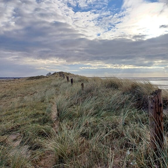
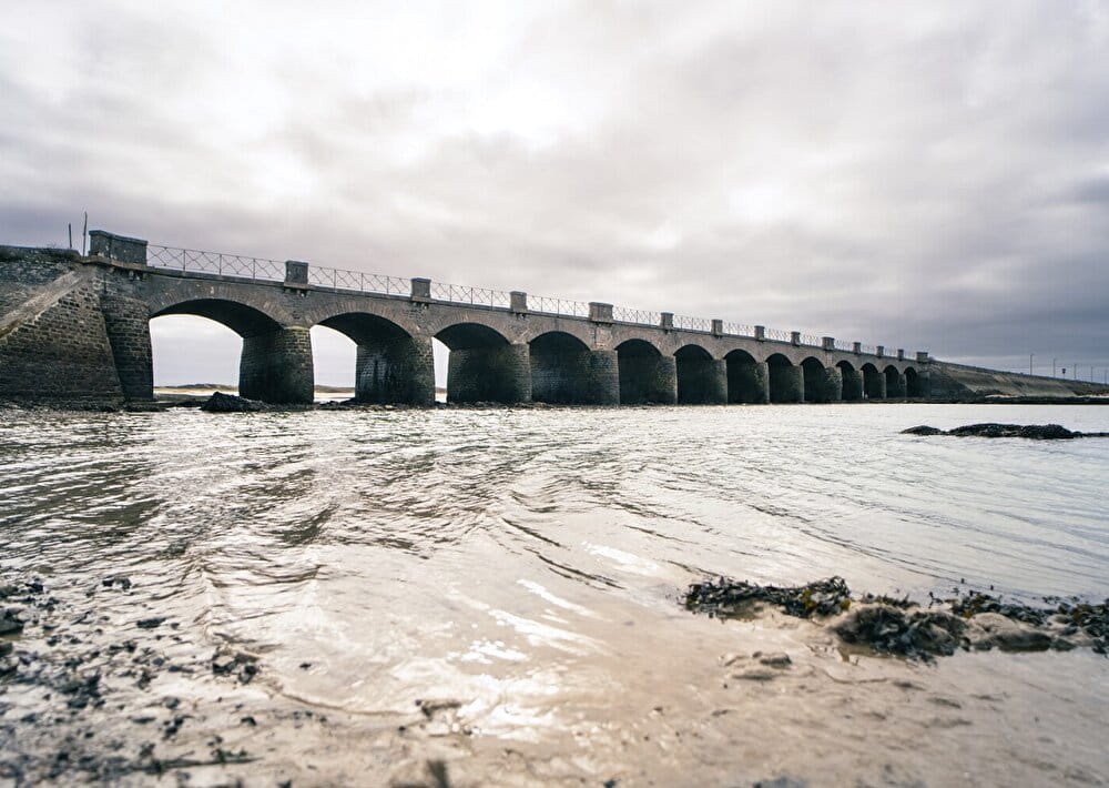
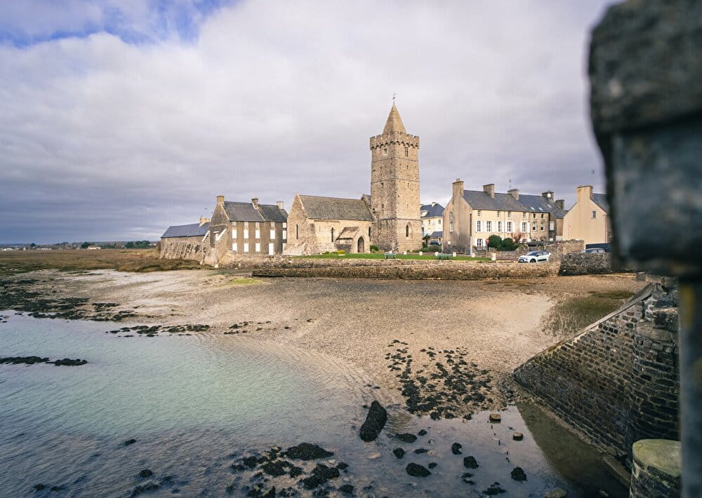
The GRP® Tour de la presqu?île du Cotentin mostly follows the GR®223 along the coast.
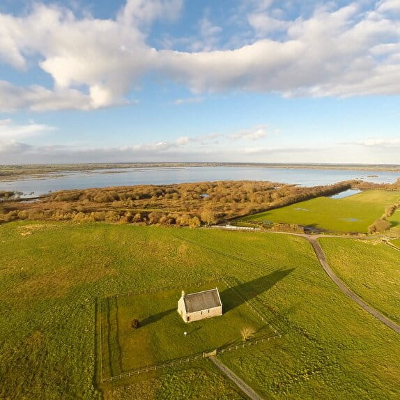
It differs in the southern part, crossing the marshes to complete the Tour du Cotentin in 15 days.
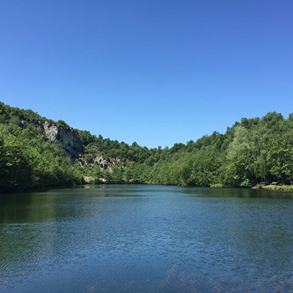
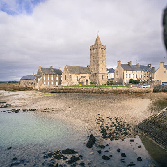
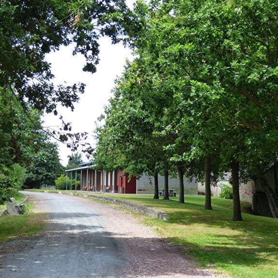
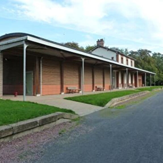
The route leaves Portbail along the harbour and Olande. After taking the old railroad line, now a greenway, in the direction of La Haye, you will ride through the Cotentin bocage. The hedgerow, already useful to local farmers, is a welcome addition to your route, providing windbreaks and shade for walkers.
GRP Tour de la presqu'île du Cotentin - Portbail <> Saint-Sauveur-le-Vicomte
Lieu PORT-BAIL-SUR-MER
Walking
Practical information
Type of trail
Linear
Markup
Red and yellow
Starting point
PORT-BAIL-SUR-MER
Pont des 13 Arches
Ending point
SAINT-SAUVEUR-LE-VICOMTE
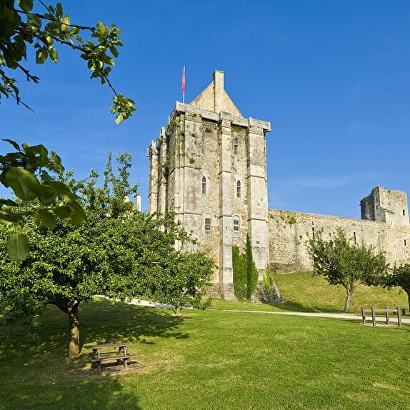
Château de Saint-Sauveur-le-Vicomte
| Elevation (m) | 7 | 7 | 5 | 5 | 9 | 17 | 7 | 8 | 15 | 13 | 28 | 28 | 36 | 38 | 37 | 36 | 13 | 26 | 28 | 31 | 30 | 33 | 31 | 33 | 39 | 37 | 41 | 39 | 38 | 41 | 41 | 46 | 54 | 70 | 46 | 35 | 23 | 37 | 27 | 23 | 13 |
|---|---|---|---|---|---|---|---|---|---|---|---|---|---|---|---|---|---|---|---|---|---|---|---|---|---|---|---|---|---|---|---|---|---|---|---|---|---|---|---|---|---|
| Distance | 0 km | 0.5 km | 0.9 km | 1.1 km | 1.4 km | 1.9 km | 2.6 km | 3 km | 3.4 km | 4.4 km | 5.1 km | 5.4 km | 5.8 km | 6.2 km | 6.6 km | 7 km | 7.5 km | 7.8 km | 8.2 km | 8.5 km | 9 km | 9.4 km | 9.8 km | 10.2 km | 10.6 km | 10.9 km | 11.2 km | 11.4 km | 11.9 km | 12.3 km | 12.6 km | 12.9 km | 13.3 km | 13.8 km | 14.2 km | 14.9 km | 15.5 km | 16.2 km | 17.9 km | 18.2 km | 18.7 km |
Hiker's tips
- Wear appropriate clothing for the route and the weather
- Make sure you take enough water
- Tell family or friends where you’re planning to go and make sure you take a fully charged mobile
- Protect nature: take your rubbish home with you, keep your dog on a lead and stay on the marked paths.