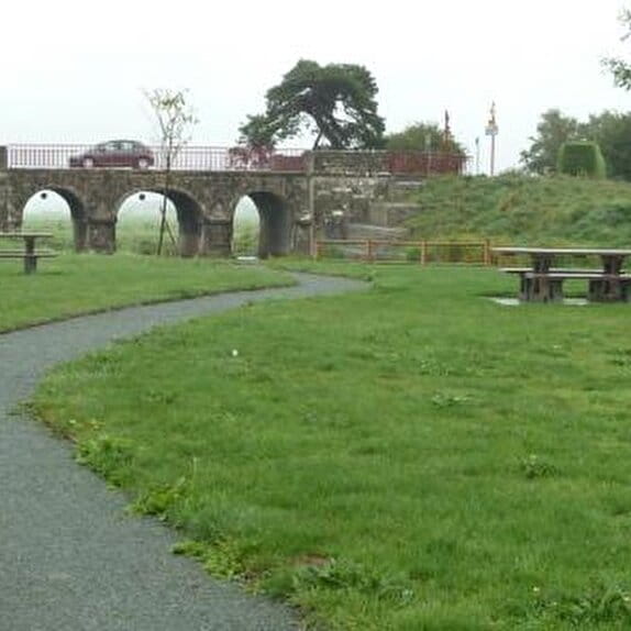
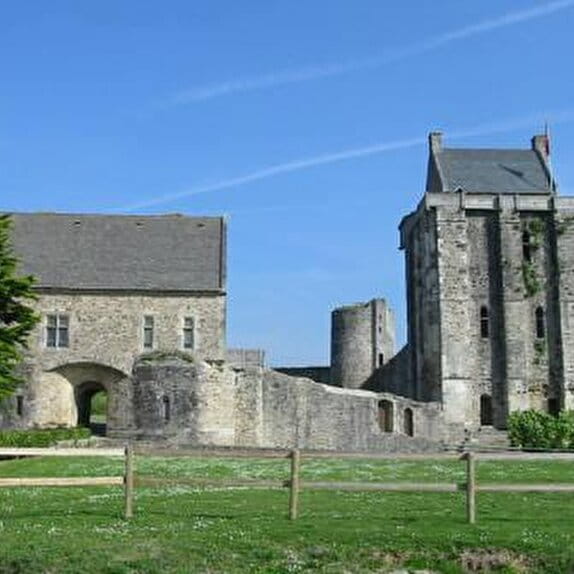
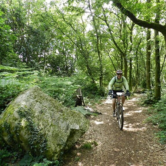
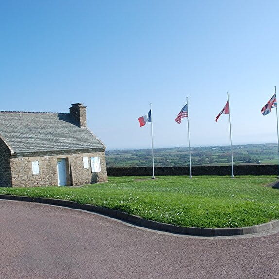
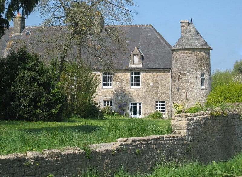
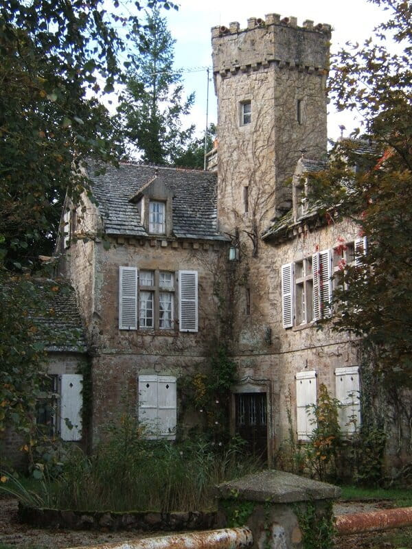
The proposed itinerary, between roads and paths, allows you to discover beautiful stylish houses and beautiful viewpoints over the surrounding municipalities with peaks between 61 and 118m.
Bocage au Coeur du Cotentin
Lieu HUBERVILLE
Walking
Practical information
Type of trail
Loop
Markup
Other
Starting point
HUBERVILLE
Lieu-dit Le Roquier (parking de la mairie)
Ending point
HUBERVILLE
Lieu-dit Le Roquier (parking de la mairie)
| Elevation (m) | 52 | 57 | 56 | 62 | 63 | 61 | 58 | 50 | 57 | 53 | 53 | 61 | 62 | 46 | 55 | 59 | 56 | 63 | 73 | 77 | 83 | 77 | 79 | 90 | 94 | 92 | 90 | 88 | 75 | 57 | 50 | 50 | 53 | 69 | 72 | 65 | 60 | 56 | 56 | 56 | 59 | 54 |
|---|---|---|---|---|---|---|---|---|---|---|---|---|---|---|---|---|---|---|---|---|---|---|---|---|---|---|---|---|---|---|---|---|---|---|---|---|---|---|---|---|---|---|
| Distance | 0 km | 0.2 km | 0.4 km | 0.7 km | 0.9 km | 1.1 km | 1.4 km | 1.8 km | 2 km | 2.3 km | 2.4 km | 2.7 km | 3.1 km | 3.5 km | 3.8 km | 4.1 km | 4.3 km | 4.6 km | 4.9 km | 5.1 km | 5.4 km | 5.7 km | 5.9 km | 6.2 km | 6.5 km | 6.8 km | 7 km | 7.2 km | 7.3 km | 7.6 km | 7.8 km | 8 km | 8.1 km | 8.4 km | 8.7 km | 8.9 km | 9.1 km | 9.4 km | 9.8 km | 10.1 km | 10.5 km | 10.6 km |
Hiker's tips
- Wear appropriate clothing for the route and the weather
- Make sure you take enough water
- Tell family or friends where you’re planning to go and make sure you take a fully charged mobile
- Protect nature: take your rubbish home with you, keep your dog on a lead and stay on the marked paths.