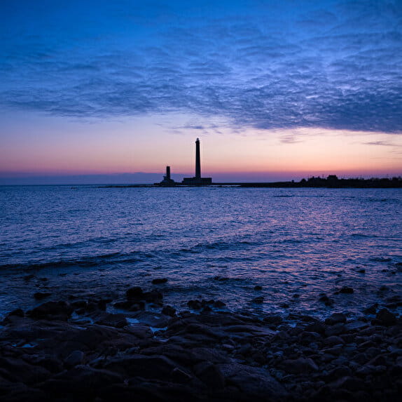
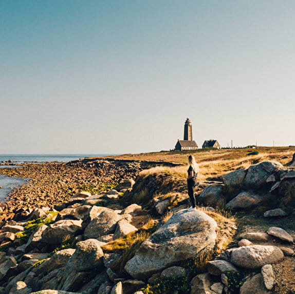
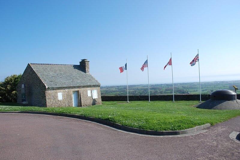
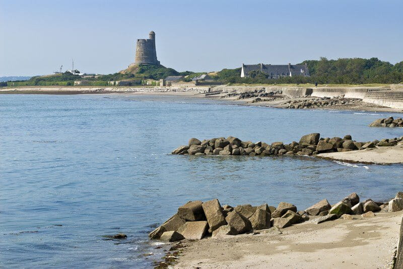
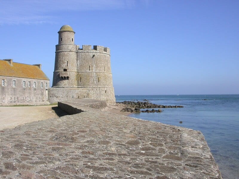
Remarkable site, La Pernelle (altitude 123m) offers one of the most beautiful views of the Val de Saire from the Gatteville Lighthouse to the Pointe du Hoc via the Vauban towers in the bay of Saint-Vaast-la-Hougue.
Panorama sur le Val de Saire
Lieu LA PERNELLE
Walking
Practical information
Type of trail
Loop
Markup
Yellow
Starting point
LA PERNELLE
Point de vue La Pernelle
Ending point
LA PERNELLE
Point de vue
| Elevation (m) | 72 | 82 | 88 | 94 | 101 | 105 | 104 | 101 | 90 | 81 | 94 | 92 | 73 | 78 | 80 | 80 | 87 | 88 | 87 | 85 | 80 | 76 | 71 | 68 | 63 | 60 | 60 | 57 | 58 | 59 | 62 | 75 | 82 | 83 | 70 | 72 | 80 | 81 | 75 | 81 | 86 | 85 | 84 | 82 | 72 |
|---|---|---|---|---|---|---|---|---|---|---|---|---|---|---|---|---|---|---|---|---|---|---|---|---|---|---|---|---|---|---|---|---|---|---|---|---|---|---|---|---|---|---|---|---|---|
| Distance | 0 km | 0.1 km | 0.2 km | 0.4 km | 0.5 km | 0.7 km | 0.8 km | 0.9 km | 1.1 km | 1.3 km | 1.6 km | 1.8 km | 2 km | 2.2 km | 2.5 km | 2.6 km | 2.9 km | 2.9 km | 3 km | 3.1 km | 3.2 km | 3.3 km | 3.4 km | 3.5 km | 3.6 km | 3.7 km | 3.8 km | 3.9 km | 4 km | 4 km | 4.1 km | 4.3 km | 4.4 km | 4.5 km | 4.7 km | 4.8 km | 4.9 km | 5 km | 5.2 km | 5.3 km | 5.4 km | 5.6 km | 5.7 km | 5.8 km | 5.8 km |
Hiker's tips
- Wear appropriate clothing for the route and the weather
- Make sure you take enough water
- Tell family or friends where you’re planning to go and make sure you take a fully charged mobile
- Protect nature: take your rubbish home with you, keep your dog on a lead and stay on the marked paths.