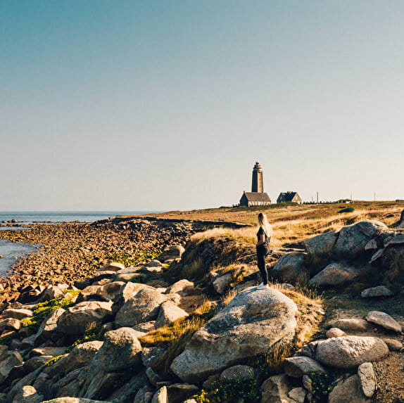
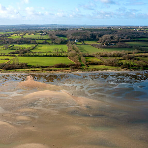
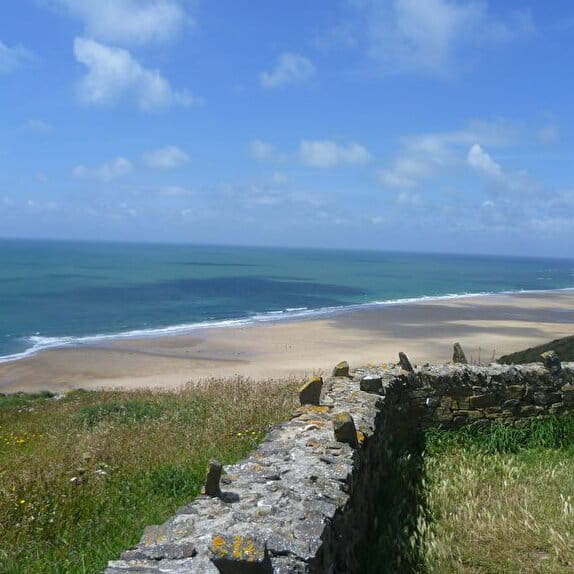
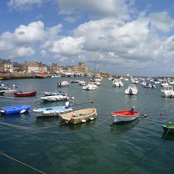
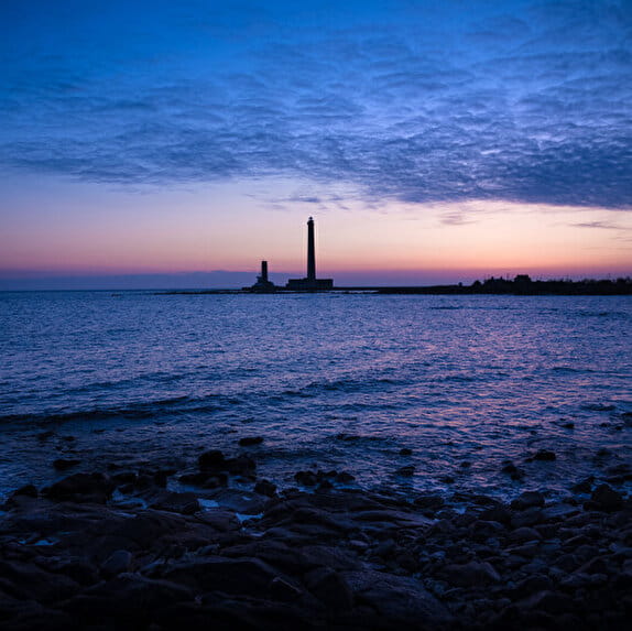
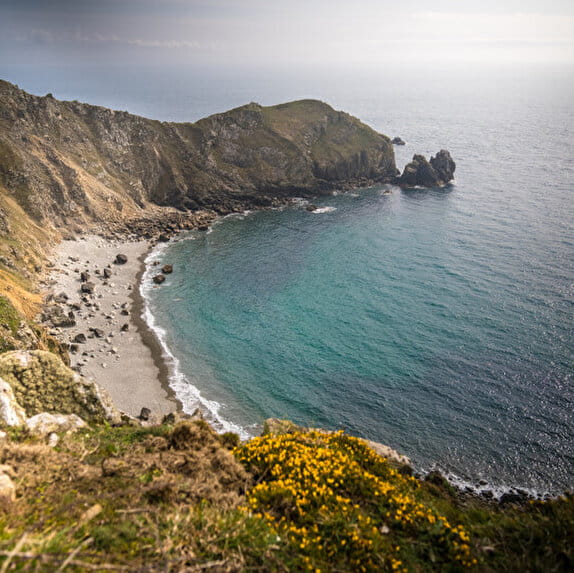
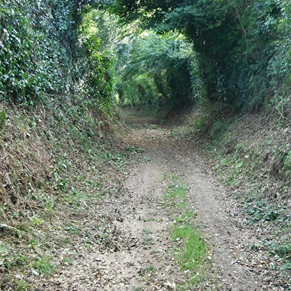
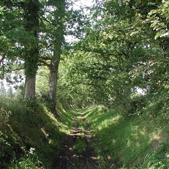
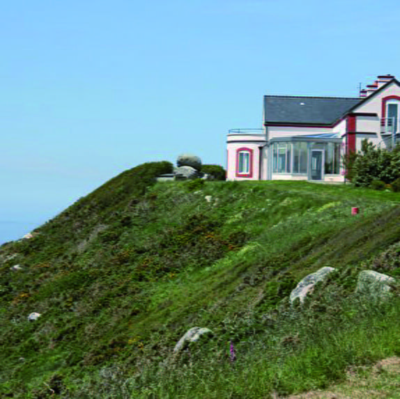
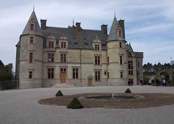
Situated near Cherbourg-Octeville, this circuit with very diversified landscapes crosses bocage, hillside woods and rivers steeped in deep valleys. The steep gradient and the length of its coastline gullied by water make it relatively difficult and technical. The Château des Ravalets, characteristic of the Cotentinian Renaissance, is the starting point for this tour
Bocage et collines de Tourlaville
Lieu CHERBOURG-EN-COTENTIN
Mountain bike
Practical information
Type of trail
Loop
Markup
Other
Starting point
CHERBOURG-EN-COTENTIN
Rue du Château des Ravalets
Ending point
TOURLAVILLE
rue du Château des Ravalets
| Elevation (m) | 36 | 74 | 96 | 83 | 87 | 79 | 93 | 116 | 123 | 142 | 138 | 156 | 158 | 138 | 158 | 170 | 170 | 154 | 142 | 121 | 104 | 86 | 71 | 95 | 120 | 133 | 151 | 151 | 132 | 107 | 86 | 68 | 62 | 60 | 63 | 62 | 71 | 54 | 56 | 43 | 32 | 29 | 28 | 35 |
|---|---|---|---|---|---|---|---|---|---|---|---|---|---|---|---|---|---|---|---|---|---|---|---|---|---|---|---|---|---|---|---|---|---|---|---|---|---|---|---|---|---|---|---|---|
| Distance | 0 km | 0.6 km | 0.9 km | 1.8 km | 2.1 km | 2.4 km | 2.7 km | 3 km | 3.2 km | 3.5 km | 3.8 km | 4.2 km | 4.7 km | 5.3 km | 5.6 km | 6.1 km | 6.3 km | 6.6 km | 6.9 km | 7.2 km | 7.4 km | 7.6 km | 7.9 km | 8.2 km | 8.5 km | 8.8 km | 9.1 km | 9.6 km | 10 km | 10.4 km | 10.7 km | 11.1 km | 11.3 km | 11.6 km | 11.8 km | 12.2 km | 12.4 km | 12.8 km | 13.1 km | 13.4 km | 13.5 km | 13.8 km | 14 km | 14.3 km |
Hiker's tips
- Wear appropriate clothing for the route and the weather
- Make sure you take enough water
- Tell family or friends where you’re planning to go and make sure you take a fully charged mobile
- Protect nature: take your rubbish home with you, keep your dog on a lead and stay on the marked paths.