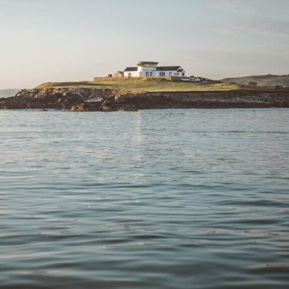
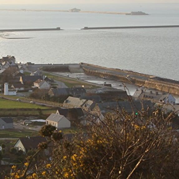
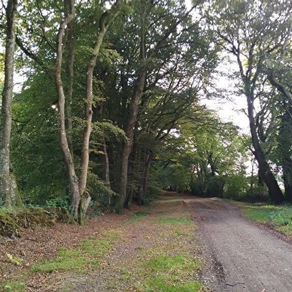
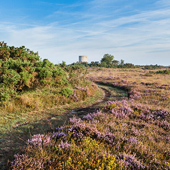
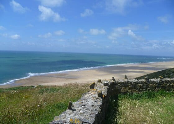
From the Stakes, you will quickly reach Sciotot. In front of you, a long beach of fine sand will lead you to Cap du Rozel from where you can admire a beautiful panorama of the surrounding beaches. The route then passes through the protected natural site of the Hatainville dunes. You will pass the Cap de Carteret which offers breathtaking panoramas before going back down to Barneville-Carteret and its marina.
Les chemins du Mont-Saint-Michel - Chemin de Cherbourg - Les Pieux - Barneville-Carteret
Lieu LES PIEUX
Walking
Practical information
Type of trail
Linear
Markup
Red and white
Starting point
LES PIEUX
Mairie des Pieux
Ending point
BARNEVILLE-CARTERET
Port de Carteret
| Elevation (m) | 122 | 125 | 115 | 58 | 8 | 6 | 12 | 15 | 9 | 6 | 14 | 32 | 25 | 13 | 20 | 29 | 6 | 3 | 4 | 7 | 5 | 8 | 9 | 4 | 12 | 12 | 14 | 64 | 73 | 59 | 57 | 68 | 64 | 62 | 60 | 19 | 10 | 28 | 18 | 33 | 10 | 8 |
|---|---|---|---|---|---|---|---|---|---|---|---|---|---|---|---|---|---|---|---|---|---|---|---|---|---|---|---|---|---|---|---|---|---|---|---|---|---|---|---|---|---|---|
| Distance | 0 km | 1.2 km | 2.5 km | 3 km | 3.6 km | 4.2 km | 5.2 km | 5.8 km | 6.6 km | 7.3 km | 8.3 km | 8.7 km | 9.1 km | 9.3 km | 9.6 km | 10 km | 10.4 km | 10.7 km | 11 km | 11.7 km | 12.8 km | 13.3 km | 13.8 km | 14.6 km | 16.1 km | 17.4 km | 18.5 km | 19.6 km | 20.5 km | 21.3 km | 21.8 km | 22.2 km | 22.6 km | 23.2 km | 23.5 km | 24 km | 24.4 km | 24.8 km | 25.1 km | 25.6 km | 26.2 km | 27 km |
Hiker's tips
- Wear appropriate clothing for the route and the weather
- Make sure you take enough water
- Tell family or friends where you’re planning to go and make sure you take a fully charged mobile
- Protect nature: take your rubbish home with you, keep your dog on a lead and stay on the marked paths.