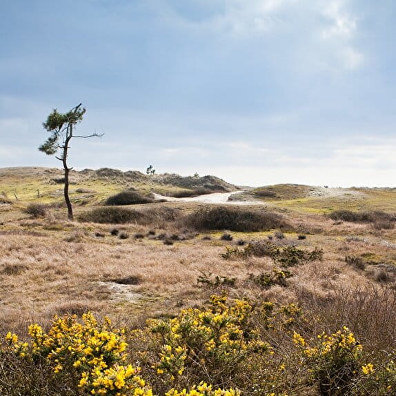
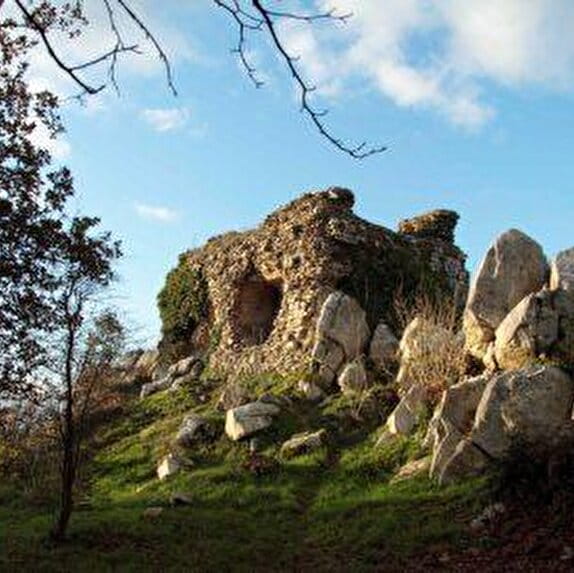
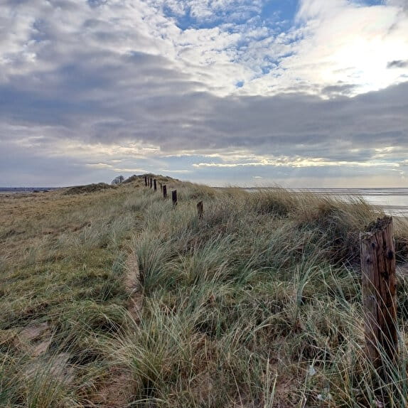
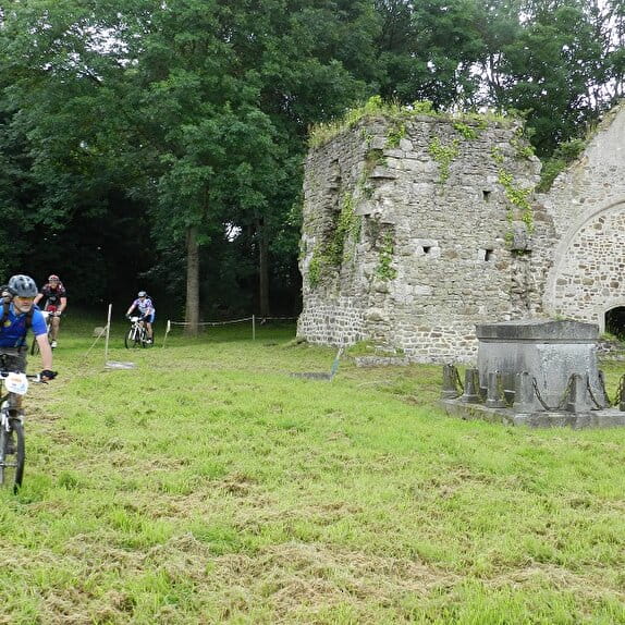
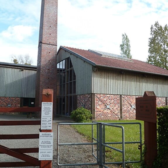
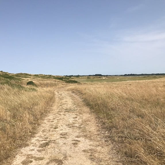
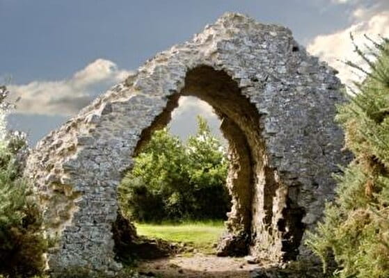
The Doville mountain, 130 m high, dominates the surrounding marshes. The view is superb. Then, the bocage and the marshes of the Sangsurière nature reserve offer themselves to you for a route which proves difficult and sometimes wet. Discover among the most charming fords and sunken paths of the Cotentinian bocage, the moors and the panorama of the Mont de Doville. The relative altitude contrasts sufficiently with the surrounding marshes and plateaus to give them the presumptuous name of "mount". The five "mountains of the Col du Cotentin" (Taillepied, Besneville, Doville, Etenclin and Castre) are picturesque belvederes formerly used by some castles or guard houses and, today, by more specific panoramas. Punctuated by ruins, torn apart by quarries, the Doville mountain stands out from the other mounts by its moorland and the vestiges that cover it.
Le Mont de Doville - VTT
Lieu DOVILLE
Mountain bike
Practical information
Type of trail
Loop
Markup
Other
Starting point
DOVILLE
Chemin de l'ancien corps de garde
Ending point
DOVILLE
Chemin de l'ancien corps de garde
Hiker's tips
- Wear appropriate clothing for the route and the weather
- Make sure you take enough water
- Tell family or friends where you’re planning to go and make sure you take a fully charged mobile
- Protect nature: take your rubbish home with you, keep your dog on a lead and stay on the marked paths.