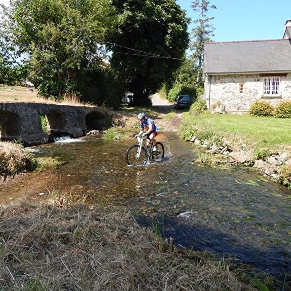
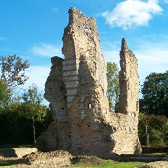
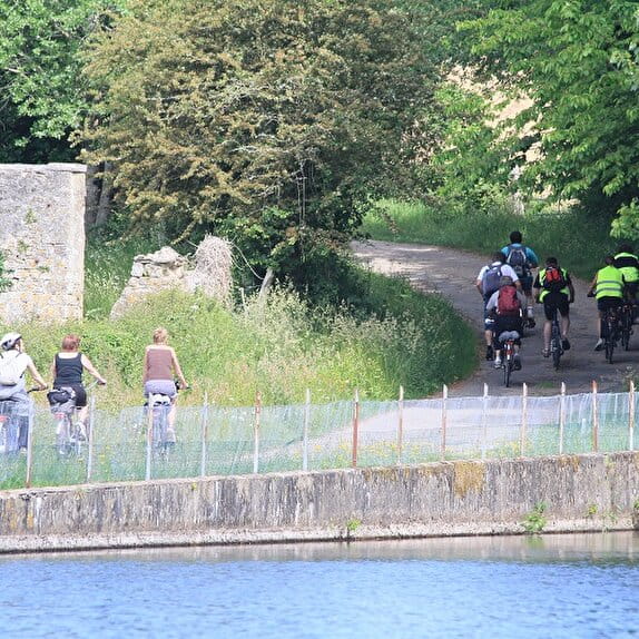
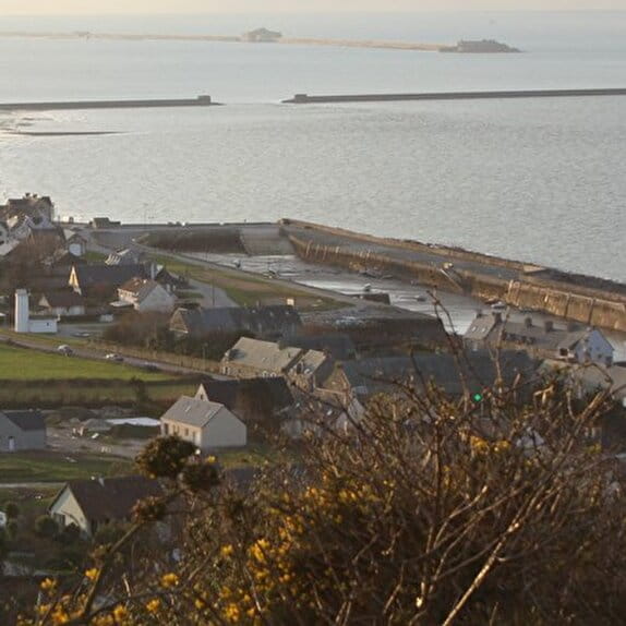
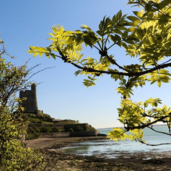
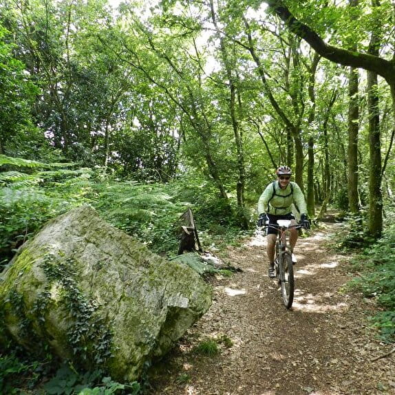
De Tatihou au Mont Saint-Michel - Saint-Vaast-la-Hougue / Saint-Sauveur-le-Vicomte
Lieu SAINT-VAAST-LA-HOUGUE
Gravel

Practical information
Type of trail
Linear
Markup
Other
Starting point
SAINT-VAAST-LA-HOUGUE
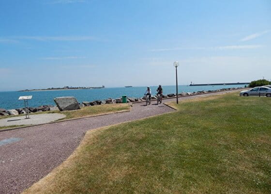
Port de Saint-Vaast-la-Hougue
Ending point
SAINT-SAUVEUR-LE-VICOMTE
Mairie de Saint-Sauveur-le-Vicomte
Hiker's tips
- Wear appropriate clothing for the route and the weather
- Make sure you take enough water
- Tell family or friends where you’re planning to go and make sure you take a fully charged mobile
- Protect nature: take your rubbish home with you, keep your dog on a lead and stay on the marked paths.