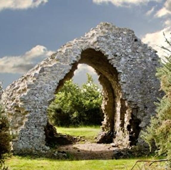
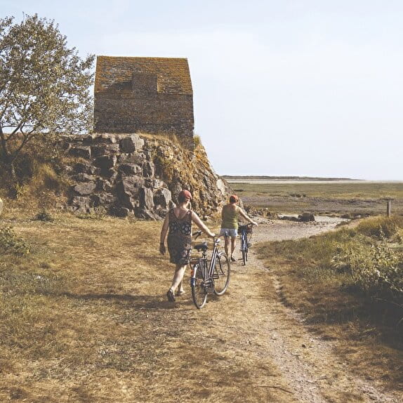
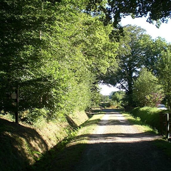
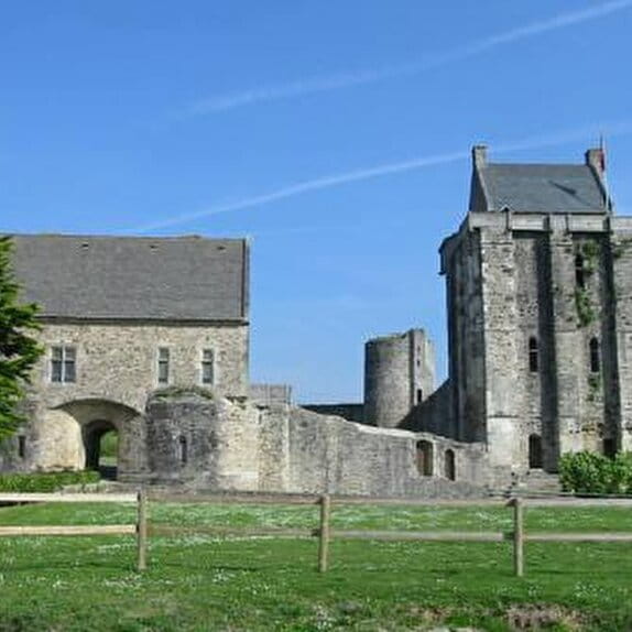
The GRP® Tour de la presqu?île du Cotentin mostly follows the GR®223 along the coast.
It differs in the southern part, crossing the marshes to complete the Tour du Cotentin in 15 days.
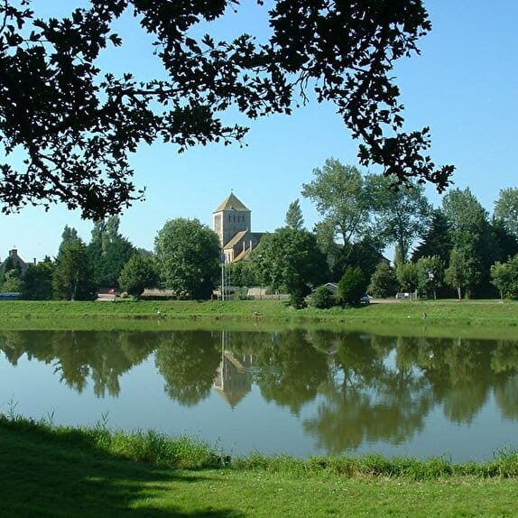
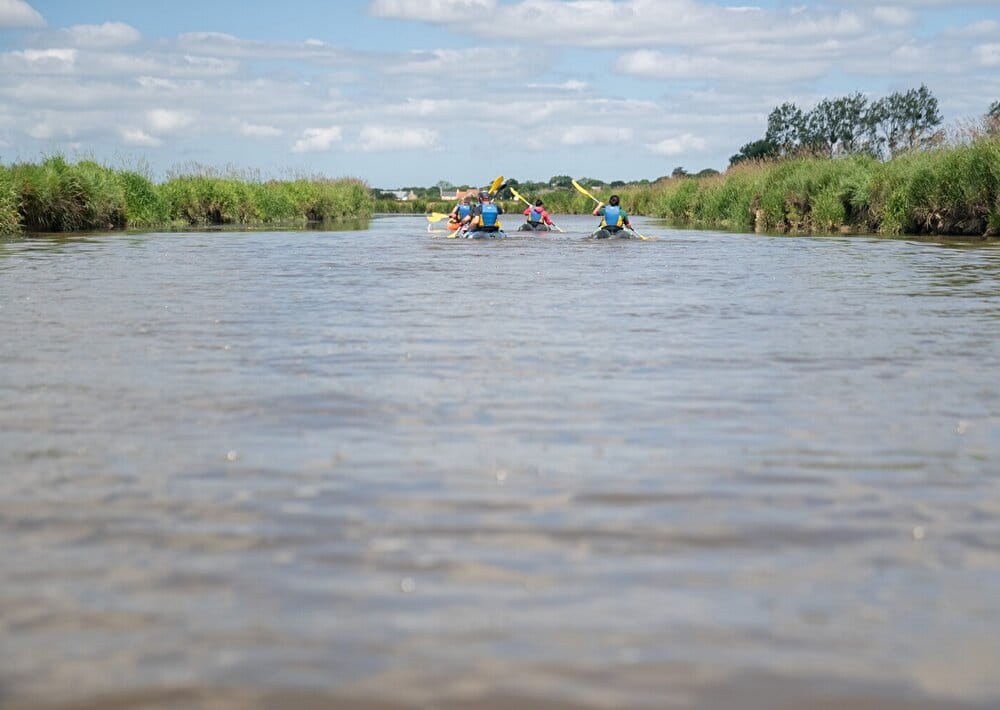
The last few kilometers of the GRP® will take you through the marshes.
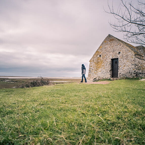
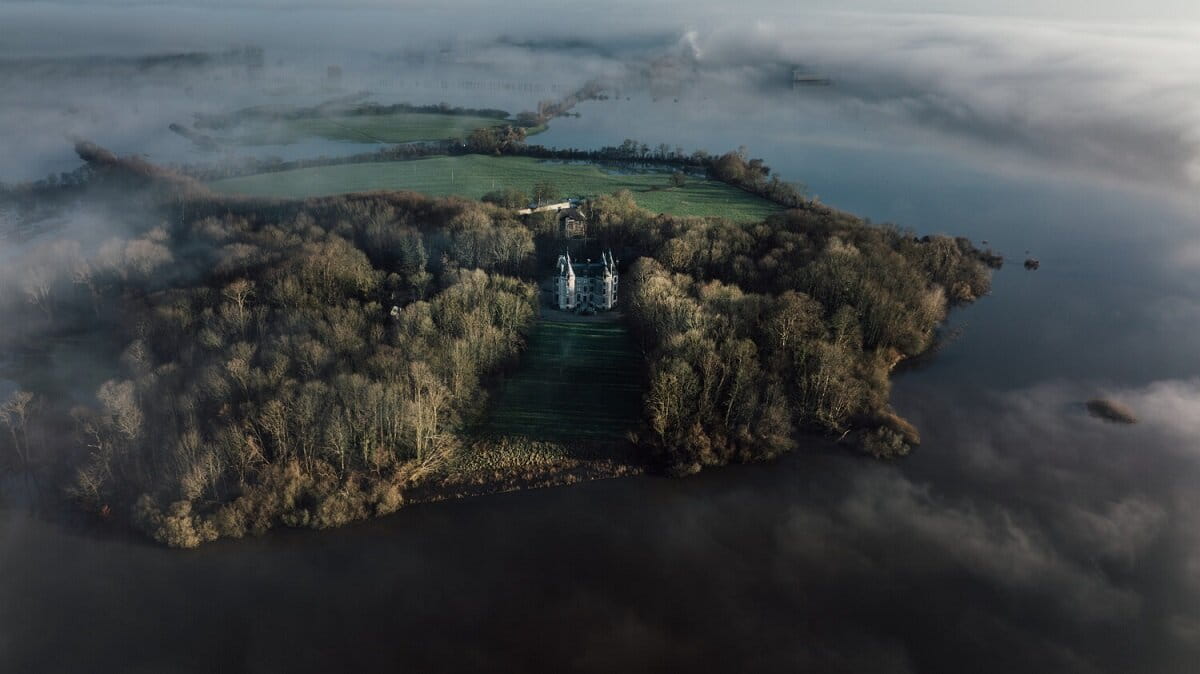
In autumn, with the first rains, river levels rise and water gradually invades the lowest points of the marshes: the "bas-pays". Cows and horses retreat to the "high country" and are replaced by birds.
In the depths of winter, this tranquility is at its peak, when the marshes are said to be "white".
GRP® Tour de la presqu'île du Cotentin - Picauville <> Sainte-Mère-Eglise
Lieu PICAUVILLE
Walking
Practical information
Type of trail
Linear
Markup
Red and yellow
Starting point
PICAUVILLE
Mémorial 9e US Air Force
Ending point
SAINTE-MERE-EGLISE
Place du 6 juin 1944
| Elevation (m) | 24 | 23 | 20 | 27 | 28 | 29 | 29 | 24 | 12 | 12 | 5 | 5 | 6 | 12 | 8 | 11 | 7 | 4 | 3 | 3 | 2 | 1 | 3 | 6 | 6 | 9 | 10 | 12 | 11 | 10 | 12 | 11 | 15 | 15 | 12 | 7 | 7 | 10 | 13 | 16 | 21 | 19 | 21 |
|---|---|---|---|---|---|---|---|---|---|---|---|---|---|---|---|---|---|---|---|---|---|---|---|---|---|---|---|---|---|---|---|---|---|---|---|---|---|---|---|---|---|---|---|
| Distance | 0 km | 0.1 km | 0.2 km | 0.4 km | 0.6 km | 0.8 km | 1 km | 1.4 km | 1.5 km | 1.7 km | 2.1 km | 2.3 km | 2.6 km | 2.9 km | 3.2 km | 3.4 km | 3.8 km | 4.1 km | 4.3 km | 4.4 km | 4.8 km | 5.5 km | 5.8 km | 6.1 km | 6.3 km | 6.6 km | 6.9 km | 7.2 km | 7.3 km | 7.4 km | 7.7 km | 7.9 km | 8.3 km | 8.7 km | 9.2 km | 9.4 km | 9.5 km | 9.7 km | 9.9 km | 10.1 km | 10.2 km | 10.3 km | 10.5 km |
Hiker's tips
- Wear appropriate clothing for the route and the weather
- Make sure you take enough water
- Tell family or friends where you’re planning to go and make sure you take a fully charged mobile
- Protect nature: take your rubbish home with you, keep your dog on a lead and stay on the marked paths.