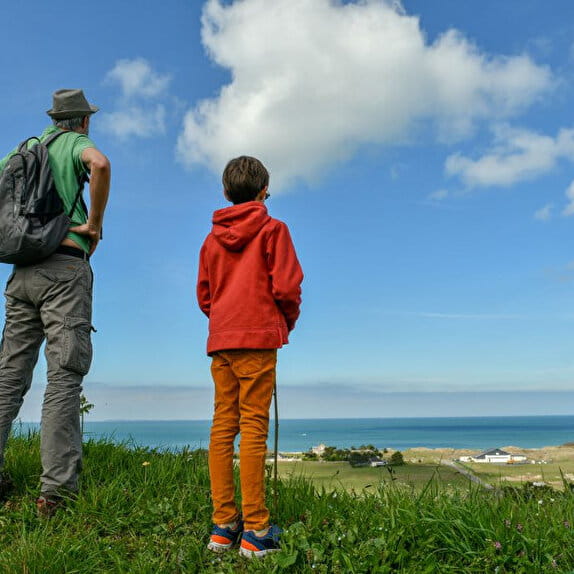
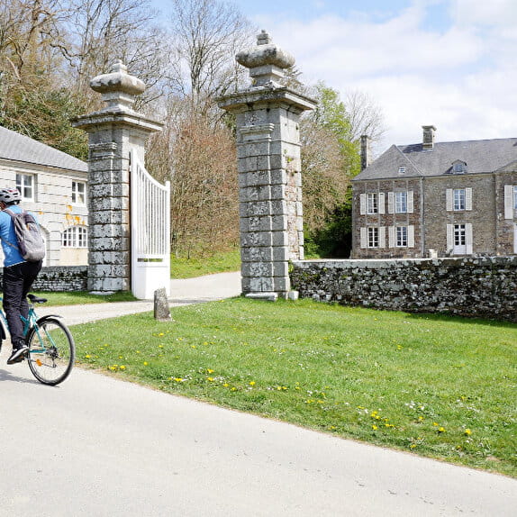
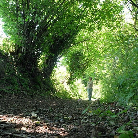
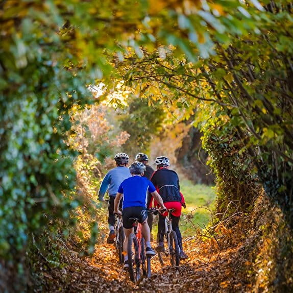
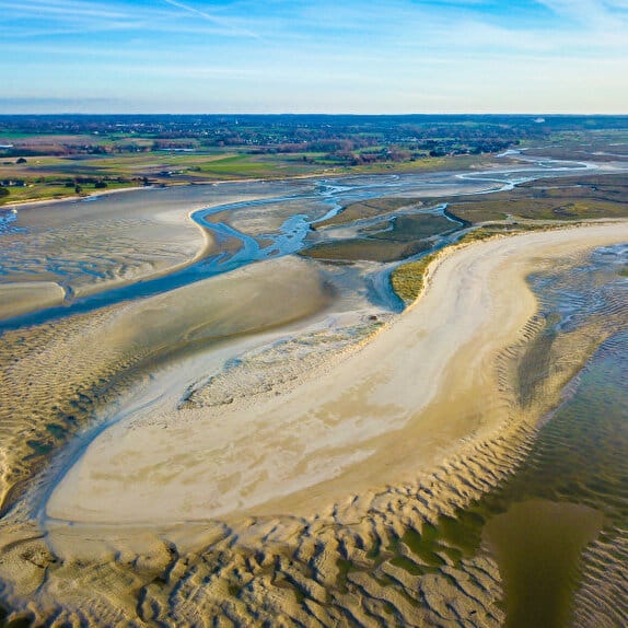
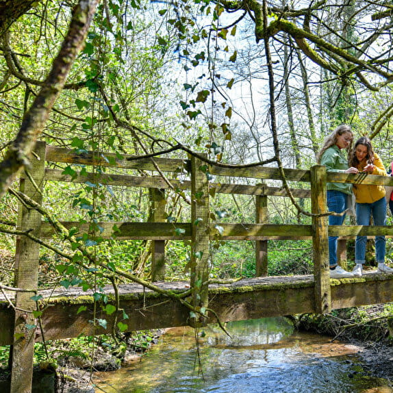
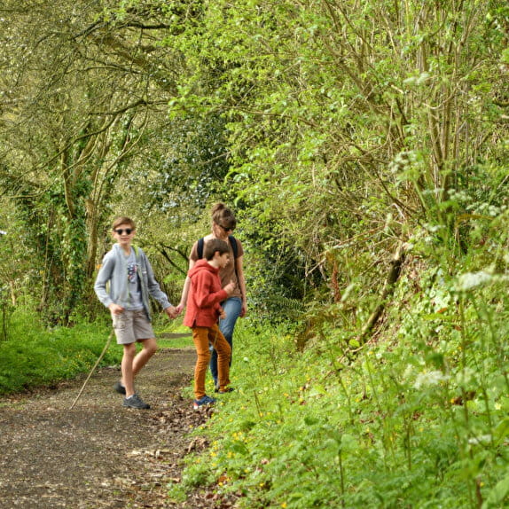
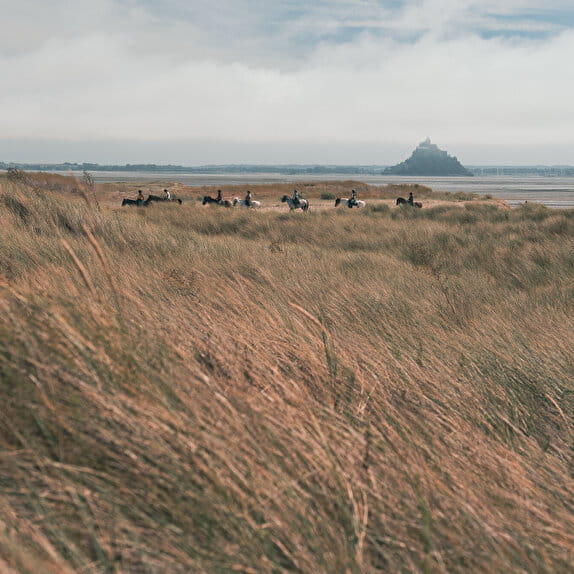
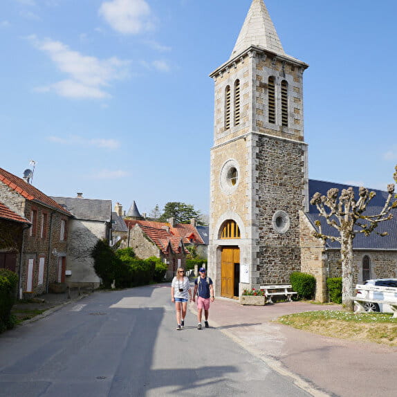
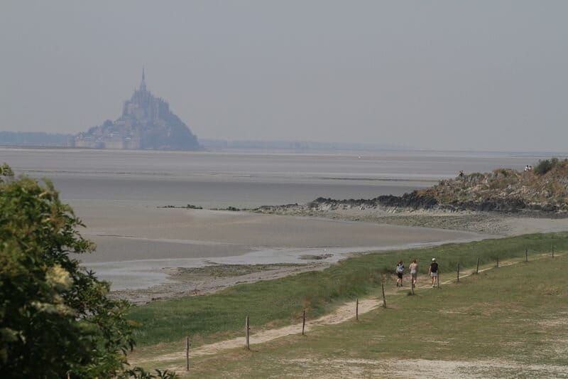
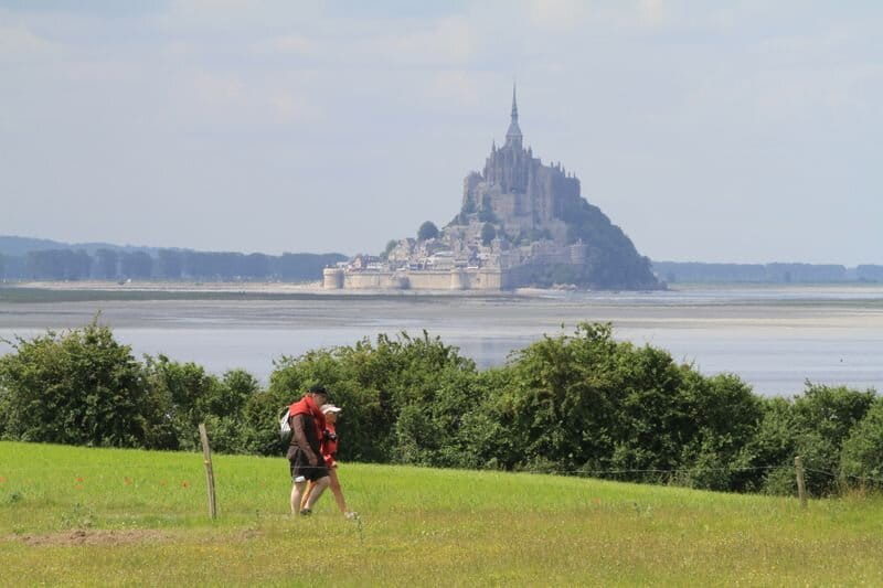
Starting from Saint-Jean-le-Thomas, you will follow the coast to finally reach Genêts, the main starting point for the bay crossings on foot to Mont-Saint-Michel. The bay is beautiful but dangerous. To cross it, you must leave with a certified "Guide de la Baie".
Les chemins du Mont-Saint-Michel - Chemin de Cherbourg - Saint-Jean-le-Thomas - Le Mont-Saint-Michel
Lieu SAINT-JEAN-LE-THOMAS
Walking
Practical information
Type of trail
Linear
Starting point
SAINT-JEAN-LE-THOMAS
Eglise de Saint Jean-le-Thomas
Ending point
LE MONT-SAINT-MICHEL
| Elevation (m) | 24 | 15 | 18 | 23 | 21 | 13 | 12 | 11 | 8 | 9 | 18 | 17 | 14 | 6 | 7 | 9 | 10 | 10 | 11 | 11 | 8 | 10 | 10 | 9 | 9 | 8 | 9 | 9 | 10 | 10 | 10 | 7 | 6 | 7 | 9 | 10 | 10 | 10 | 9 | 9 | 9 | 9 | 9 | 8 | 7 | 8 |
|---|---|---|---|---|---|---|---|---|---|---|---|---|---|---|---|---|---|---|---|---|---|---|---|---|---|---|---|---|---|---|---|---|---|---|---|---|---|---|---|---|---|---|---|---|---|---|
| Distance | 0 km | 0.1 km | 0.2 km | 0.3 km | 0.4 km | 0.6 km | 0.7 km | 0.9 km | 1.2 km | 1.3 km | 1.5 km | 1.6 km | 1.7 km | 1.9 km | 2.1 km | 2.2 km | 2.5 km | 2.6 km | 2.9 km | 3.2 km | 3.5 km | 3.8 km | 4.1 km | 4.2 km | 4.3 km | 4.3 km | 4.4 km | 4.5 km | 4.6 km | 4.6 km | 4.8 km | 5.1 km | 5.2 km | 5.4 km | 5.7 km | 5.8 km | 5.8 km | 5.8 km | 6.4 km | 6.4 km | 6.5 km | 6.6 km | 6.6 km | 6.7 km | 6.8 km | 6.9 km |
Hiker's tips
- Wear appropriate clothing for the route and the weather
- Make sure you take enough water
- Tell family or friends where you’re planning to go and make sure you take a fully charged mobile
- Protect nature: take your rubbish home with you, keep your dog on a lead and stay on the marked paths.