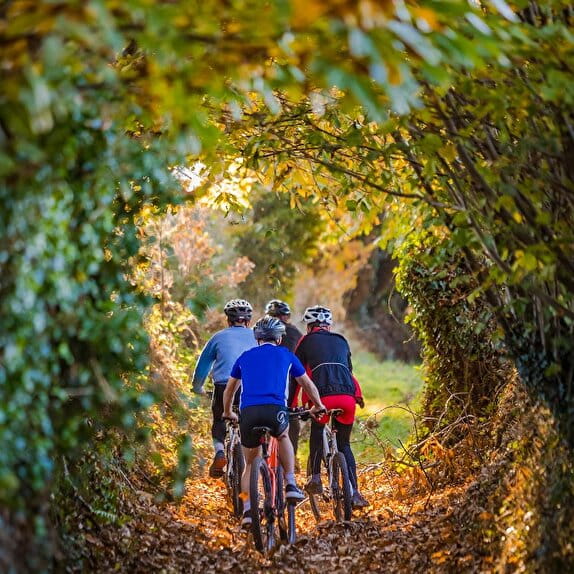
Stage common to the Vélomaritime, the Véloscénie and the Vélo WestNormandy.
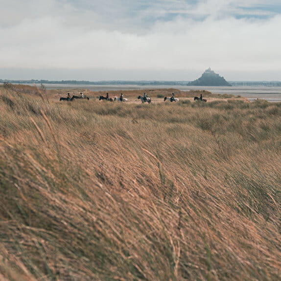
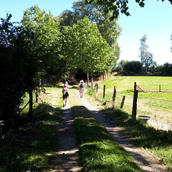
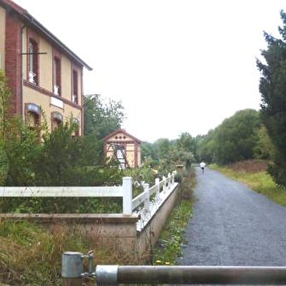
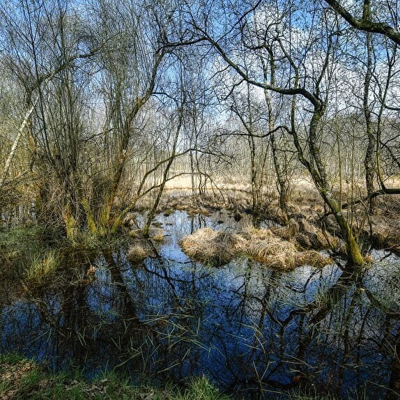
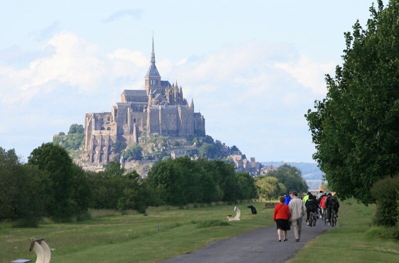
From Ducey, you will follow the mouth of the Sée and Sélune rivers to Pontaubault, where you will leave the greenway. You will then take small departmental roads with little traffic offering unique views of the Bay and the Mont Saint-Michel which have been classified by UNESCO as a World Heritage Site since 1979. Its diversified landscapes (foreshore, grasslands...) will make you travel in different universes.
Ducey < > Le Mont Saint-Michel
Lieu DUCEY-LES CHERIS
Cycling
Practical information
Type of trail
Linear
Starting point
DUCEY-LES CHERIS
Croisement de la voie verte avec la rue du Général Leclerc
Ending point
LE MONT-SAINT-MICHEL
Le Mont Saint-Michel
Hiker's tips
- Wear appropriate clothing for the route and the weather
- Make sure you take enough water
- Tell family or friends where you’re planning to go and make sure you take a fully charged mobile
- Protect nature: take your rubbish home with you, keep your dog on a lead and stay on the marked paths.